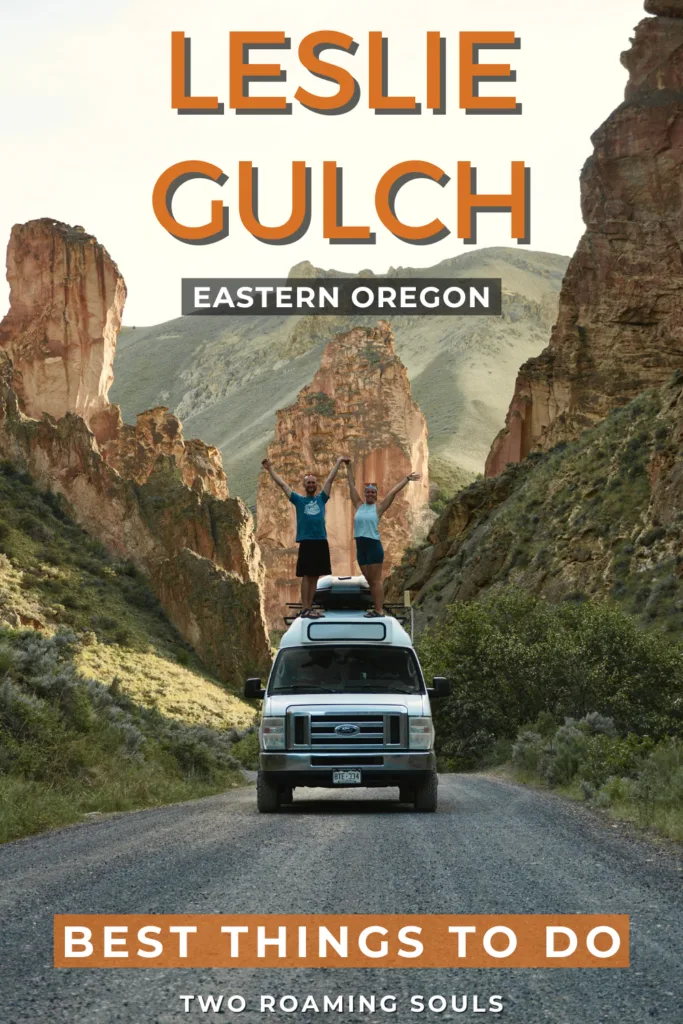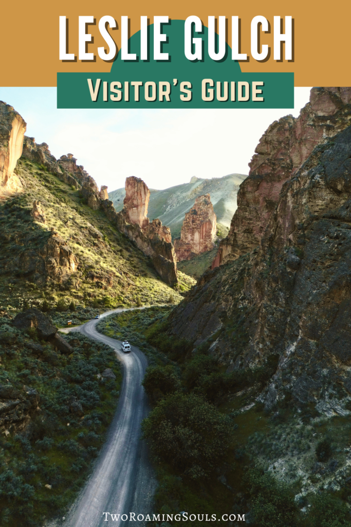
This guide shares everything you need to know about visiting Leslie Gulch. This extremely remote area in Eastern Oregon is full of enchanting landscapes.
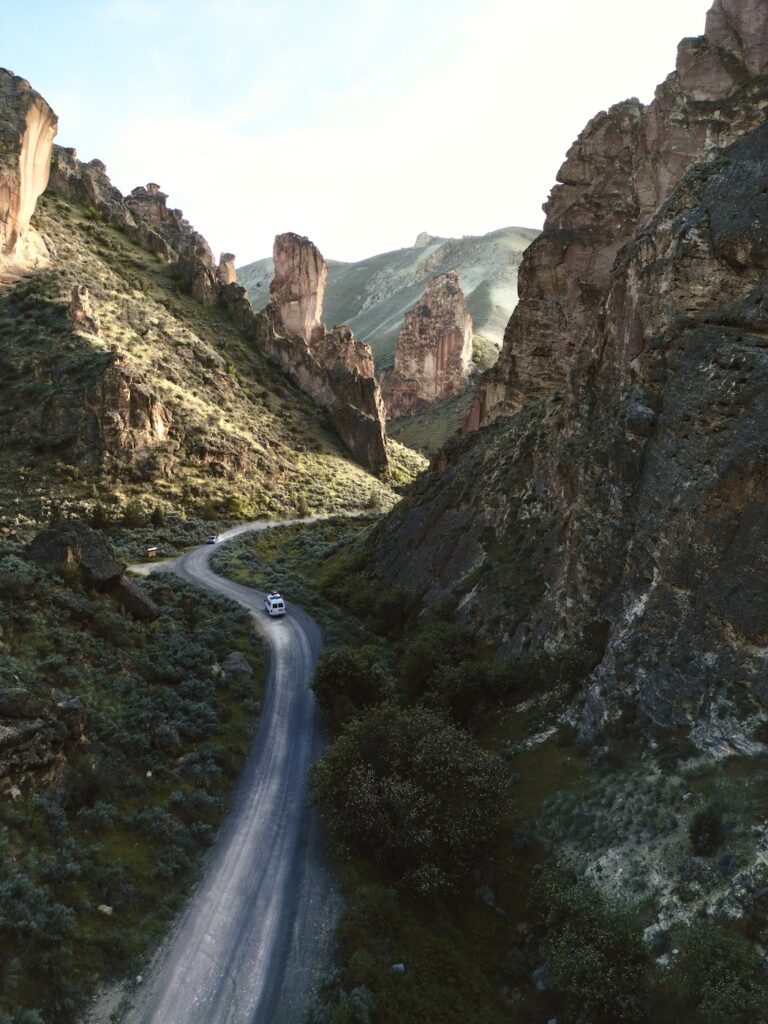
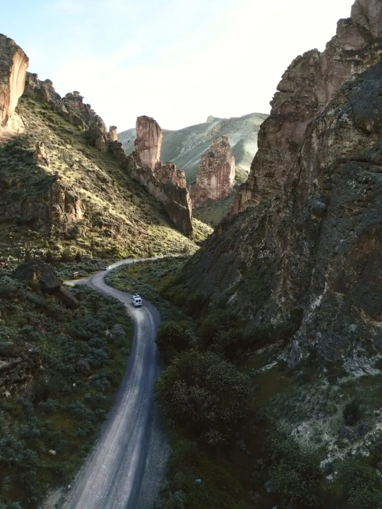
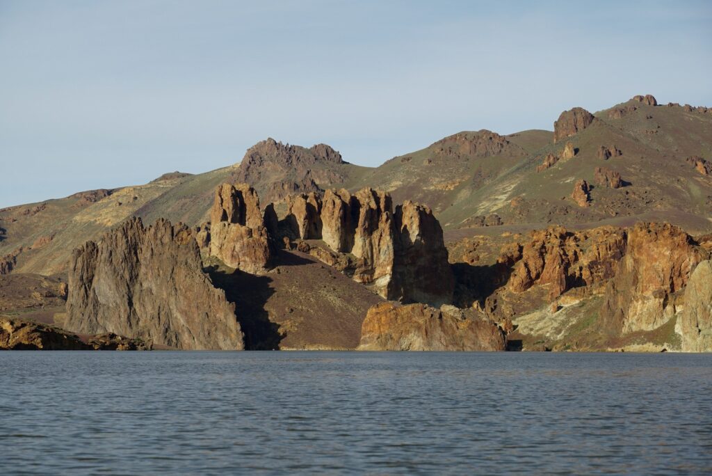
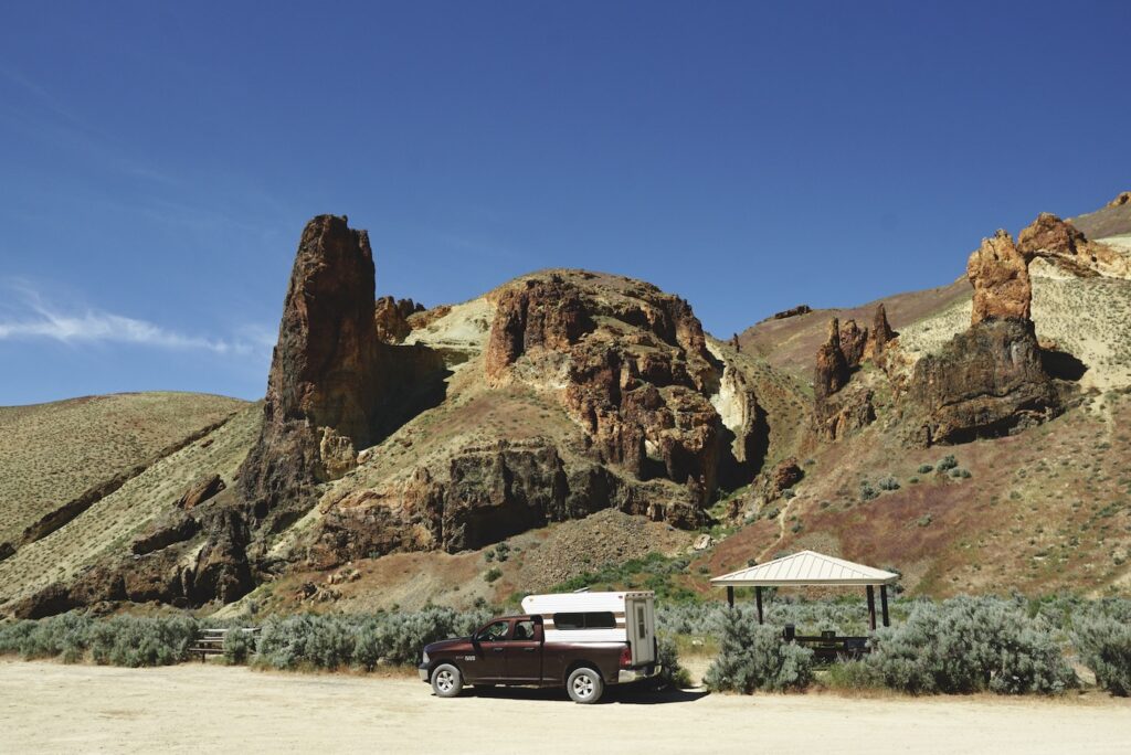
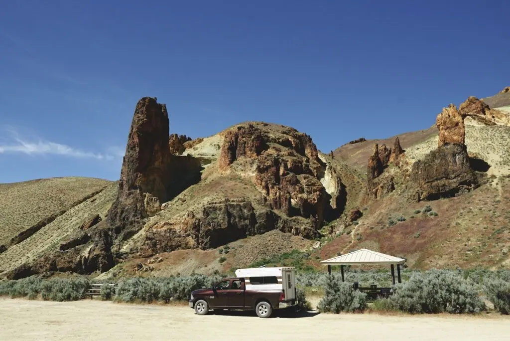
Spiney mountains, cliffs, and rock formations dot the landscape. The varied geology in this region is simply breathtaking. At the end of Leslie Gulch you find the Owyhee Reservoir, a popular destination for boating, fishing, and sightseeing.
But getting to Leslie Gulch is anything but straightforward. No matter where you are coming from, it’s a long bumpy road into a remote area with few amenities.
So here’s how to prepare for your visit to Leslie Gulch.
How To Get To Leslie Gulch
Leslie Gulch sits near the eastern border of Oregon, in Malheur County. It’s on the east side of the Owyhee Reservoir and is honestly much closer to Boise Idaho than to any well-known town in Oregon.
From Highway 95 in Idaho, go west 8 miles on McBride Creek Road to Rockville, then 1 mile north to Leslie Gulch Road and 15 miles west. You can also take Succor Creek Road from either Oregon Highway 201 or US Highway 95 to the Leslie Gulch Road Junction.
Succor Creek State Natural Area has a scenery very similar to Leslie Gulch and a primitive campground. We think it’s worth visiting if you are already making the trip to this region.
Regardless of the route you take, it requires many miles of dirt road driving to explore Leslie Gulch.
From the beginning of Leslie Gulch Road to Leslie Gulch Boat Ramp (the end) is 14 miles. And just getting to the road requires at least another 10 miles of dirt roads (or more depending on the route).
The road conditions can be variable. Expect lots of washboarded road, and likely some ruts, potholes, and small stream crossings.
When dry, the roads are likely passable in most 2WD passenger vehicles. But wet conditions or recent floods can make 4×4 and high-clearance essential.
And be aware that Google Maps wasn’t able to map the correct route to Leslie Gulch. It tried to send us on a much rougher and narrower un-named road at one point.
Use the map we created above to familiarize yourself with the major waypoints. The key is getting to Leslie Gulch Road Junction.
The Geology Of Leslie Gulch
The striking geology of this region is certainly the draw for most visitors. And it doesn’t take a geology buff to appreciate its rugged beauty.
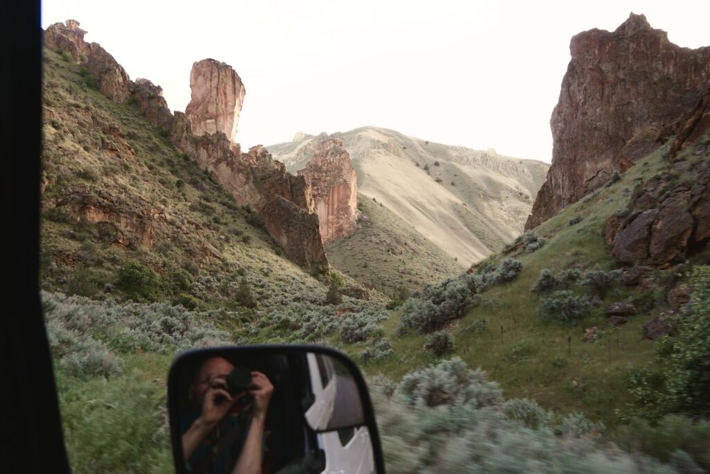
As you make your way to Leslie Gulch, there’s little besides endless rolling hills of sagebrush. But suddenly the road descends into the gulch, and rock towers emerge all around you.
This region was formed inside an ancient caldera. The landscape we see today is the result of past volcanic eruptions, followed by millions of years of erosion. Intricate layers of ash, basalt, rhyolite, and other rocks form the varied terrain.
Top Things To Do In Leslie Gulch
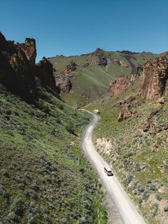
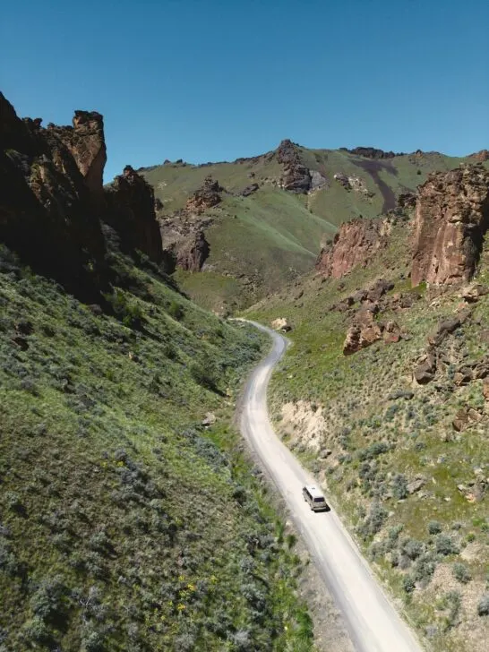
Leslie Gulch Road Scenic Drive

Simply driving the road through Leslie Gulch is an unforgettable experience! The jagged rock formations line the road creating a stunning canyon.
Each turn reveals new sights that will have you reaching for the camera before you can even set it down.
While there are interesting sights to be found everywhere, the tallest and most dramatic parts of the gulch are around Upper Leslie Gulch Trailhead and just past Juniper Gulch Trailhead.
So just don’t be in such a hurry to reach the end that you forget to slow down and enjoy this section of the journey.
Boating, Kayaking, or Fishing The Owyhee Reservoir
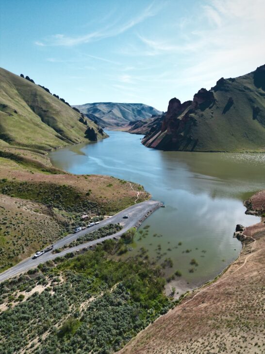

The Owyhee Reservoir (pronounced like Hawaii) is 52 miles long, and is a can’t-miss destination for your visit. The man-made lake is a perfect setting for boating, kayaking, fishing, swimming, and more.
At the end of Leslie Gulch Road, you will find the Leslie Gulch Boat Ramp. There is a vault toilet at the boat ramp. And there’s a parking area for vehicles and trailers just before the boat ramp.
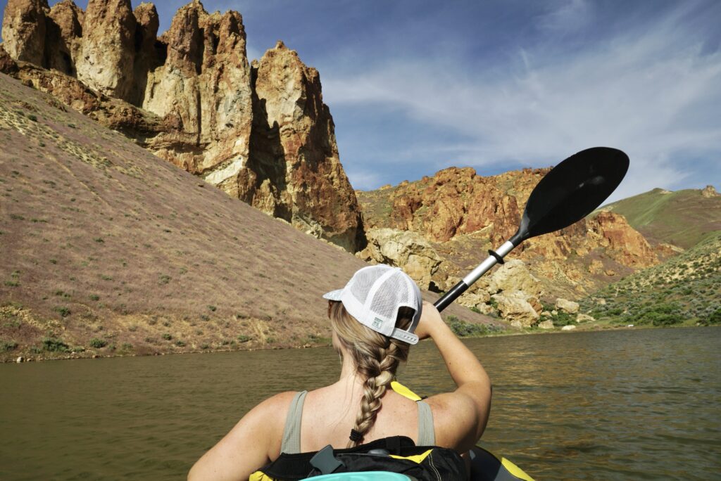
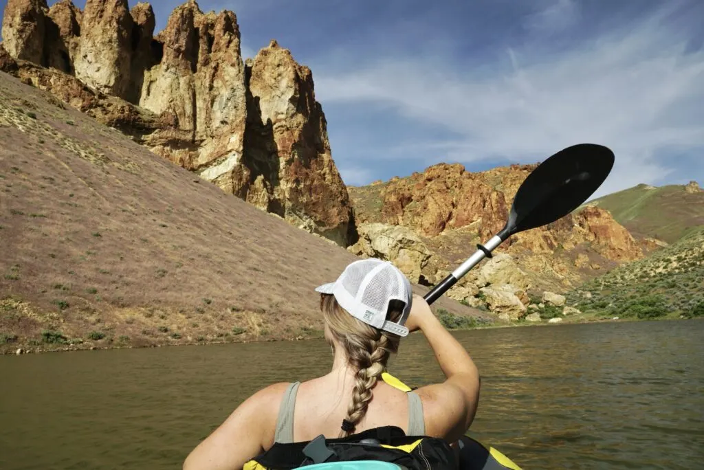
Bring your own boat, kayak, or paddleboard if you want to get out on the water. There are no rentals available on-site. (Check out our favorite portable kayaks that you can take on any adventure)
With a motorized boat, you can easily explore this MASSIVE lake.
But if you have a human-powered vessel, realistically, you will probably only have the energy to explore the area closest to the boat ramp.
If you go paddling for a couple hours, we recommend heading north (right) from the boat ramp. There are some enticing rock formations a mile up on the east side of the lake that make for a good destination and turn-around point.

If you don’t have any kind of boat, there are some informal trails following the shore on either side of the boat ramp.
Admittedly, there isn’t really a good beach for swimming, per se. But if you aren’t afraid of a rocky/murky shoreline, you could hop in for a swim.
Go Hiking

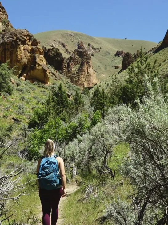
There are several hiking trails where you can explore deeper into one of the many side gulches. It’s the best way to find solitude away from the cars and crowds.
Each one is an out-and-back trail so you can make them as short or long as you like. For the trails with the most impressive scenery, we recommend Juniper Gulch and Upper Leslie Gulch (though they all have something worth exploring).
- Juniper Gulch Trail (3 miles, 1046ft elevation change): Dramatic rock formations right from the start. And finishing with a short steep climb to an incredible viewpoint.
- Upper Leslie Gulch Trail (4.2 miles, 757ft elevation change): The first mile has the most impressive rock towers, then it mellows out a bit.
- Dago Gulch Trail (2.1 miles, 285ft elevation change): Easiest trail in the area that follows a jeep road. But probably our least favorite because the scenery flattens out pretty quickly.
- Timber Gulch Trail (1.3 miles, 583ft elevation change): The trail is a little hard to find/follow at the beginning. But worth it if you are the more adventurous type.
The trails in the area tend to be overgrown, so if it’s not too hot, we recommend wearing pants.
And be cautious because rattlesnakes are common in this area. When the temperature is between 75-80F you are most likely to encounter them roaming freely. However, they can be encountered at other times too.
Camping In Leslie Gulch
Within Leslie Gulch itself, camping is only allowed at the Slocum Creek Campground.
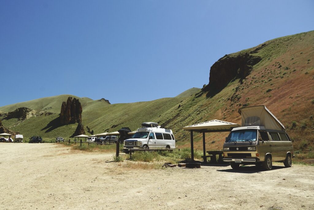
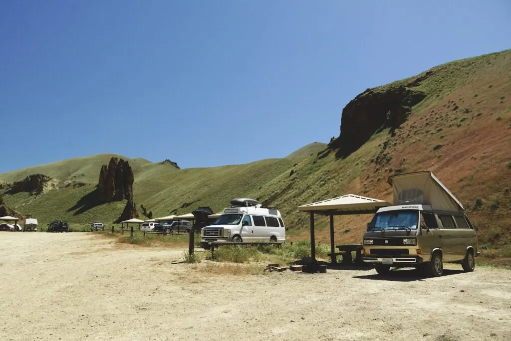
Slocum Creek Campground

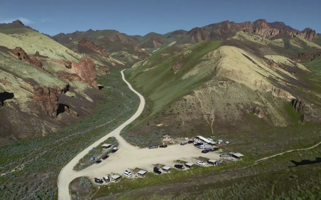
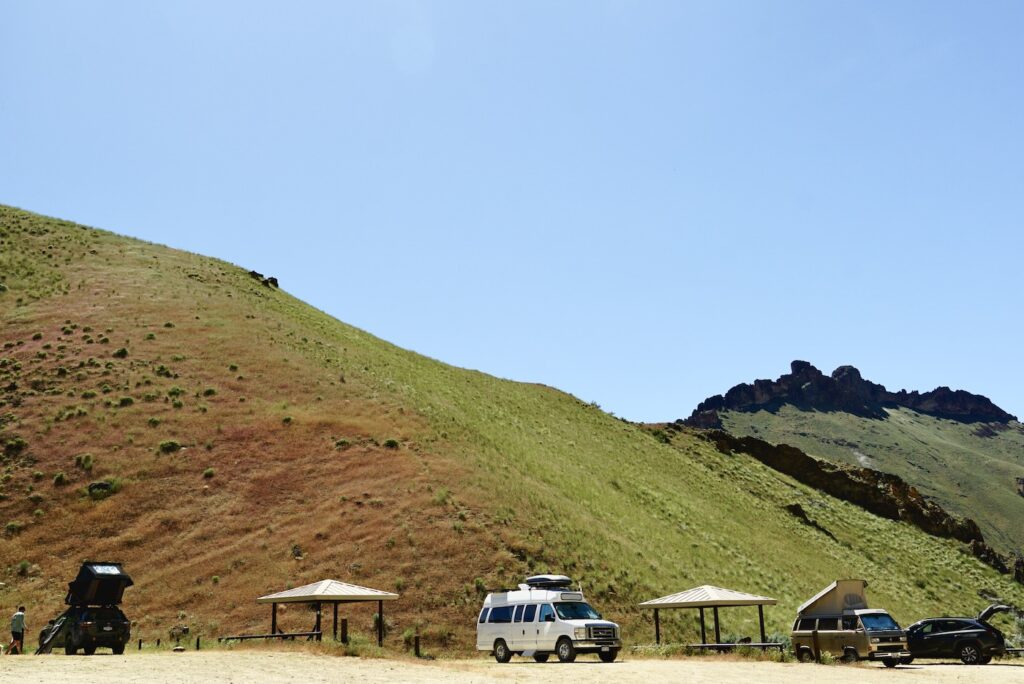
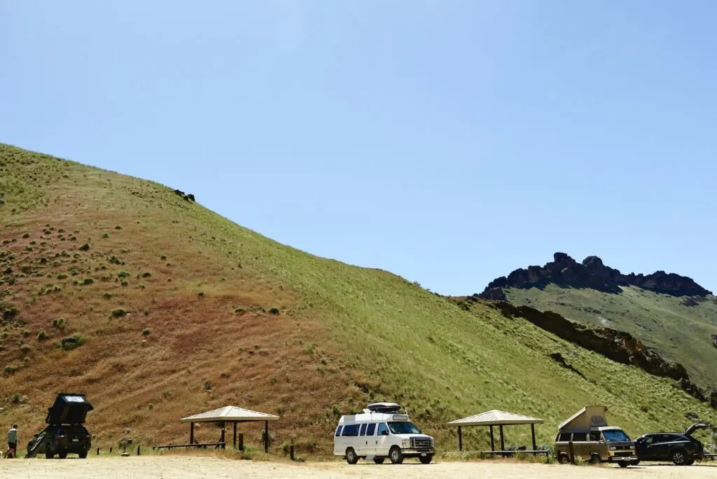
This BLM campground has 12 first-come first-serve campsites.
Each site has a fire ring, picnic table, and nearly all of them have a shade structure. The campground has two vault toilets. The campground is conveniently located just 0.2 miles from the Leslie Gulch Boat Ramp on the Owyhee Reservoir.
There are views of the surrounding rock formations and no trees. The campsites are very close together, so it feels like you practically need to whisper.
Camping is limited to 14 consecutive days.
Succor Creek Campground

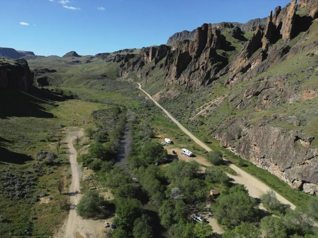
The only other campground “nearby” is Succor Creek Campground. But keep in mind that this campground is 23 miles and probably an 1 1/2 hour drive away.
This first-come first-served campground has 18 sites and a vault toilet. Each site has a picnic table and usually a rock fire ring.
The campground is located in the Succor Creek State Natural Area. It’s tucked between rock formations on both sides, and many sites have trees for shade.
Camping is limited to 14 consecutive days.
Tips For Visiting Leslie Gulch
Spring and Fall are the best time to visit Leslie Gulch. When the weather is comfortable for outdoor activities. If you visit in summer, be prepared for really hot weather. A visit in the winter can offer more solitude, but snow and ice can be present or make the roads impassable.
Visiting in the spring and early summer provides the most colorful experience of the area. Wildflowers, grasses, and other plants are at their peak vibrance.
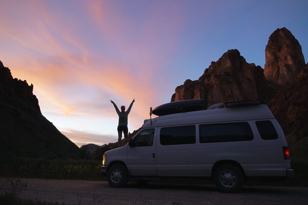
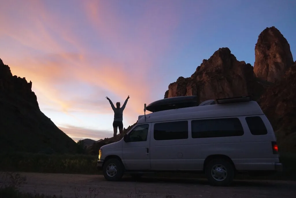
We found that the best lighting in the canyon is about 1 hour before sunset. If the sky is clear, this is when those golden rays of light paint the canyon. And sunset can be nice as well, but much more so if there are some clouds changing colors.
Getting a campsite at Slocum Creek Campground is very competitive during peak season. Try to arrive earlier in the day or on weekdays for the best chance to get a site.
Personally, we thought the Succor Creek Campground was more scenic. Plus the river running through with many trees for shade makes for a more enjoyable camping experience.
However, the proximity to the boat ramp is likely why people prefer Slocum Creek Campground. But it’s very exposed and would be unpleasant for tent campers in hot weather. Luckily, the shade pavilions make it livable. And the campsites are so close together you feel like you practically need to whisper at camp.
Coming from the north, we got to enjoy the best of both worlds and spend a couple of days at each campsite. Plus it helped to break up the long drive.
Enjoy your visit to Leslie Gulch!
Pin It For Later!