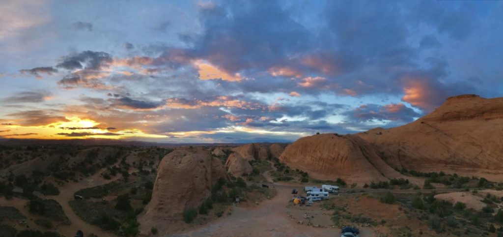
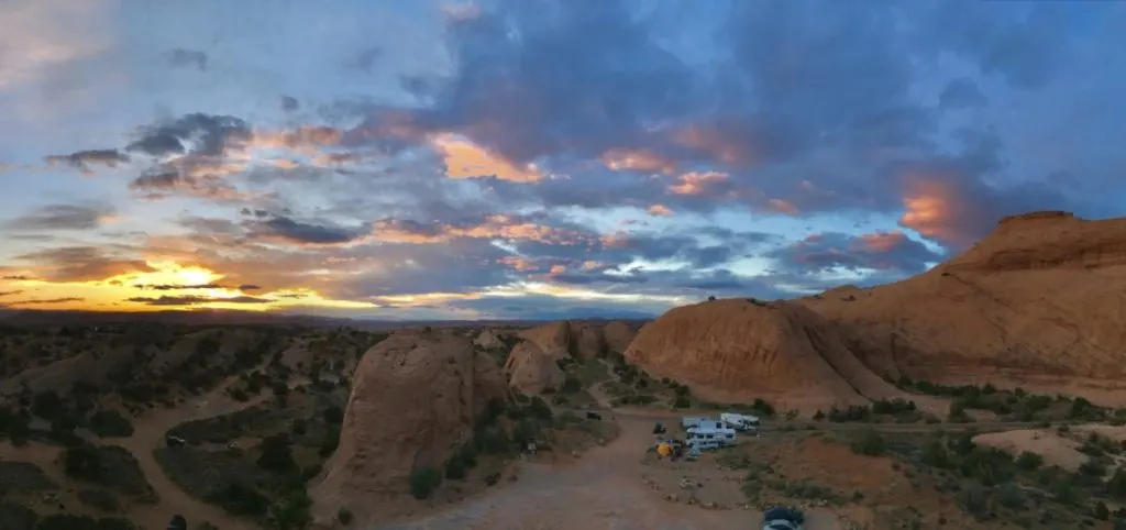
This is our guide to the best free camping near Arches National Park and Moab.
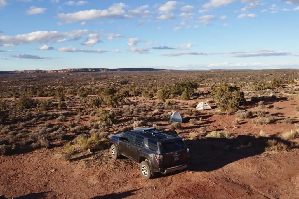
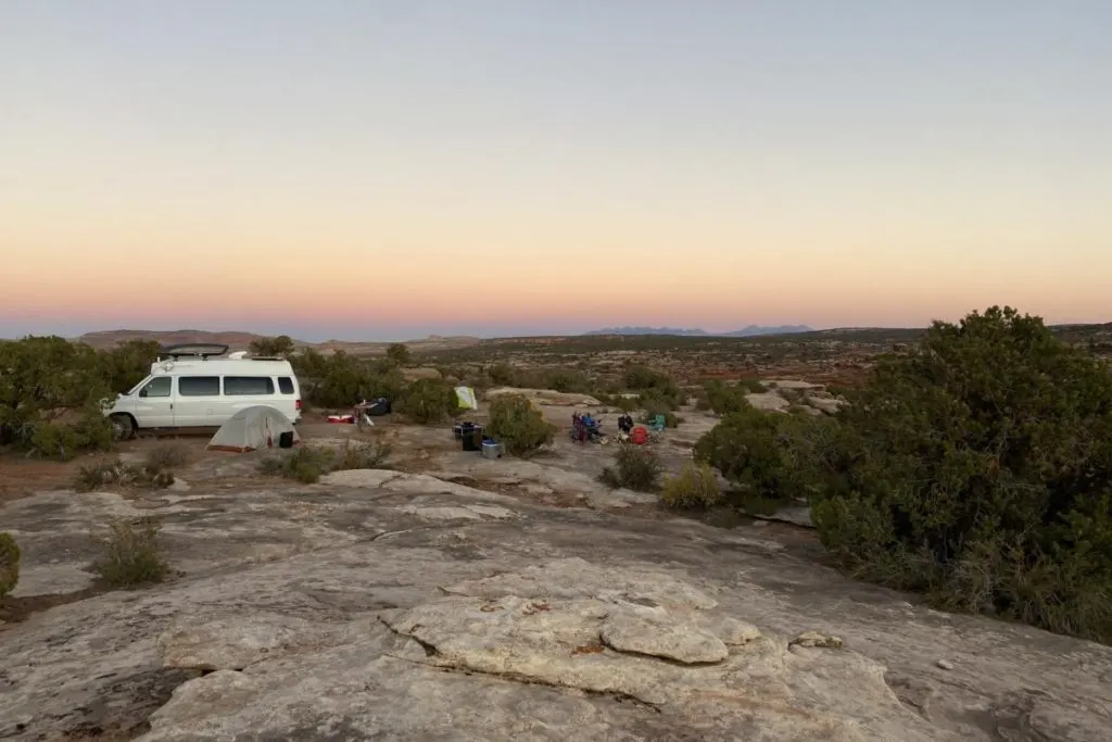
The Moab area is surrounded by thousands of acres of public lands, with quite a few areas that allow free camping. Specifically known as dispersed camping (however there are a few official BLM campgrounds).
Dispersed camping is basically camping outside of established campgrounds. That means there are usually no amenities or infrastructure of any kind.
Always practice the Leave No Trace Principles when camping and recreating in Moab. Which means packing out all trash and waste, including human waste.
But despite the abundance of free camping options in the area, don’t expect to find too much privacy in peak seasons. Moab is an extremely popular destination for outdoor junkies, National Park road trippers, off-roaders, and camping aficionados.
If you come in the peak seasons (Spring or Fall), expect to find many other campers enjoying the area. And campsites that offer the quickest and easiest access to town are often the most crowded.
Some solitude can be found if you are willing to literally ‘go the extra mile’ down that dirt road, or find campsites that aren’t listed on popular apps and websites.
Some helpful vocabulary for finding and enjoying free camping:
BLM Land = The Bureau of Land Management is the federal agency that manages huge amounts of public land in the US.
USFS = United States Forest Service is the federal agency that manages our National Forests.
Camping Rules and Practices Specific To Moab
Moab’s popularity is a bit of a double-edged sword. Yes, it’s an amazing place.
But, due to the extremely high volume of visitors and fragile desert environment, free camping around Moab has become increasingly restrictive.
There was a big change in 2021, when Grand County Utah (where Moab and Arches are located) instituted a rule that human waste must be packed out, NOT buried.
The standard Leave No Trace guidelines of burying human waste (which are great rules to follow in many places) are no longer permitted here.
Quite simply, the desert environment cannot keep up with the sheer volume of human waste. These measures have been put into place to preserve the environment and protect the safety of water resources.
Campers are encouraged to always use established toilet facilities whenever possible.
For campervans and RVs with toilets, it’s not that big of a change. But tent campers, car campers, etc. must bring a portable toilet or WAG bags.
WAG bags are commonly available from visitor centers at national parks, backcountry outfitters, and Grand County Active Transportation & Trails.
More information about disposing of human waste in Moab.
And some areas that were formerly free, are now charging fees. Or some areas are closed to camping entirely.
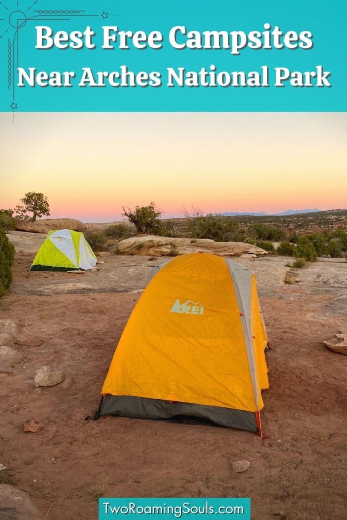
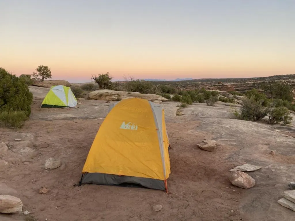
Best Free Camping Near Arches NP and Moab
Lone Mesa Area
One of our favorite free Moab camping areas near Arches National Park is the Lone Mesa area.
This refers to the massive expanse of BLM land northwest of town. There are tons of dirt roads out here leading to many campsites.

There’s an official BLM campground called Lone Mesa Campground with fire rings but no other amenities.
For those looking for free camping near Arches which isn’t far from the paved road, this is a great option. However, it fills up quickly because of the easy access.
As a baseline, Lone Mesa Campground is about 30 minutes from the Arches National Park Visitor Center. However, driving time to Arches can quickly increase the farther you delve into this area.
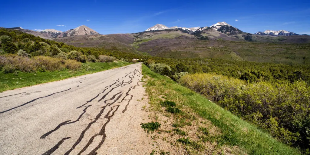
Continuing past Lone Mesa Campground there are several roads that network a massive area of BLM land. A few good roads to find campsites along are Big Mesa Area, Dubinky Well Road, and BLM 140.
The region is generally flat with plenty of good campsites for RVs and trailers.
The dirt roads in this area are typically well-maintained, but washboard is very common.
If you are someone looking to use your 4×4 to get away from the “houses on wheels”, you can certainly find that here too. Some of the spur roads can get gnarly, so use good judgment when exploring. But remember, vehicles are restricted to established roads only.

We’ve been coming out to this region for years and never camped in the same spot twice. So needless to say, there is plenty of space to spread out for those willing to drive farther away from the main road (Rt 313).
This area is also in a great location for visiting Dead Horse Point State Park and Canyonlands National Park (Island In The Sky District).
- Lone Mesa and the surrounding areas are managed by the Bureau of Land Management.
- Moab BLM Field Office: (435) 259-2100
- GPS: 38.644005, -109.819677
- Elevation: 5290′
La Sal Loop Road
Within the Manti-La Sal National Forest, visitors can find tons of dispersed campsites. The national forest encompasses the entire area around the La Sal mountains.
The primary benefit of this area is the elevation, with many campsites above 6,500ft offering amazing views of the area. In the summertime, this high elevation offers a much-needed escape from the extreme heat.

For the best free campsites close to Arches National Park in Manti-La Sal NF, La Sal Loop Road offers the quickest access. However, even some of the closest campsites to Arches are about 35-40 minutes. And plenty of campsites along the loop are well over an hour drive.
The La Sal Loop is a paved road, spanning 60 miles, and commences about 8 miles south of Moab, accessible from US-191. It forms a scenic loop through the mountains, ending back at Castle Valley and SR 128. From there you can follow the Colorado River back to Moab.
Diverging from the paved La Sal Loop road, there are loads of dirt roads leading to campsites. Variable road conditions exist, so use good judgment when exploring.
The north side of the loop (Castle Valley side) is not suitable for large RVs or trailers due to tight switchbacks. But there are some campsites suitable for big rigs not far off the south side of the loop.
- Manti-La Sal National Forest is managed by the United States Forest Service.
- Moab Ranger District: 435-257-7155
- GPS: 38.575579, -109.523722
- Elevation: 6700’+
Free La Sal Mountain Loop Brochure
Yellow Circle Road (BLM Land)
South of Moab, there is dispersed camping along Yellow Circle Road. The road is on the east side of hwy 191 about 11 miles south of Moab, and 17 miles south of Arches National Park.
Camping is not allowed within the first 0.6 miles.
Then you will first come to some large dirt clearings that are commonly packed with quite a few campers. Most larger RVs and trailers would be wise to park it here.
But smaller more nimble vehicles can continue up the road to find smaller, more secluded sites. But the road can get rough and bumpy, so high-clearance is recommended.
The area has some desert hills, with some sites getting a nice view of the La Sal mountains.
The mud can get really bad here, so I would avoid Yellow Circle Road if it has rained or snowed recently.
This is one of the best free camping sites if you plan on visiting the southern part of Canyonlands National Park (the Needles District).
- Yellow Circle Road is managed by the Bureau Of Land Management.
- Moab BLM Field Office: (435) 259-2100
- GPS: 38.435474, -109.427631
- Elevation: 5299′
Bartlett Wash BLM Campsites
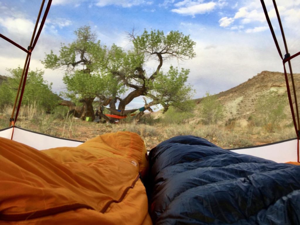

Another official BLM camping area is the Bartlett Wash area northwest of Moab. My favorite thing about this camping area is that there are tall cottonwood trees. Shade from actual trees is a rare thing around Moab.
This area is designated as “walk-in” tent camping. But the tent sites are just on the other side of a fence that separates the parking area. The parking space could work for campervans and car campers, but big RVs and trailers should avoid this place.
Bartlett Wash is great for tent campers who want to get away from the droves of RVs running generators all night. However, depending on what other campers are there, this place can also be a little rambunctious into the night.
The road is passable by most passenger vehicles, but high clearance is advised in some spots.
- Bartlett Wash is managed by the Bureau of Land Management.
- Moab BLM Field Office: (435) 259-2100
- GPS: 38.71858, -109.78494
- Elevation: 4539′
Gemini Bridges Road (BLM Land)
This area is strictly for those with capable off-road vehicles. High clearance and 4WD are a must. And there are no places to turn around. I definitely would not attempt with a big rig.
But if you have a vehicle that can handle Gemini Bridges road, it is one of the best free places to camp near Arches National Park.
Camping on Gemini Bridges Road is restricted to just 6 designated sites. So there is somewhat limited availability.
But the difficulty of the road does filter out the majority of people. While this area is very close to the west of Moab and Arches, the road conditions make it a tough drive in and out.
But once you arrive, the scenery here is spectacular. You may never want to leave. Campsites are surrounded by the beautiful red rock walls of Bride Canyon.
However, the canyon walls can be a little echo-ey if other campers are there too.
- Gemini Bridge Road is managed by the Bureau Of Land Management.
- Moab BLM Field Office: (435) 259-2100
- GPS: 38.612202, -109.665496
- Elevation: 4669′
Valley City Road (BLM Land)

Valley City Road (BLM 144) is right near the Crescent Junction (the meeting of I-70 and Highway 191). If you are arriving late from the north (Interstate 70) and looking for free camping that is quick and easy off the highway, this is it.
It is something simple to find a campsite in the dark. But beware that this area gets very muddy after rain. Even 4×4 vehicles should be cautious.
There is a good deal of highway noise at some of the first campsites. The terrain is mostly very flat desert, so the campsites have very little privacy from one another. However, that means views in every direction.
This area also has excellent cell service, so for some people, it may be worth camping a little farther from Moab.
It’s about 30 minutes to the town of Moab, and 25 minutes to Arches National Park Entrance. And it’s almost entirely highway driving.
If you are willing to drive a bit farther on Copper Mine Rd or Salt Valley Rd, you can find some secluded campsites with some more interesting desert scenery.
- Valley City Road is managed by the Bureau Of Land Management.
- Moab BLM Field Office: (435) 259-2100
- GPS: 38.8825217, -109.8070333
- Elevation: 4612’
Castleton Tower Campground

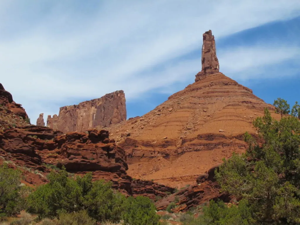
The Castleton Tower Campground is a free campground just beneath Castleton Tower, an iconic rock climbing destination.
The campground also serves as a trailhead for accessing the tower. And as such, this free camping near Arches is very popular with rock climbers.
Technically, anyone is welcome to camp here. But personally, it would never be our first choice since we are not rock climbers.
It’s best to explore other options and leave this resource to the people who really appreciate it. Plus, it’s not the most peaceful and private place to camp. With frequent noise late into the night and lots of climbers gearing up in the morning.
Access is just a very short dirt road off the paved Castleton Rd (La Sal Loop Road). It’s just a small area that’s best suited to tents, car campers, and campervans.
The only facility provided is a toilet, but otherwise, it’s primitive camping.
- Castleton Tower Campground is managed by the non-profit Utah Open Lands.
- Utah Open Lands: (801) 463-6156
- GPS: 38.642319, -109.376765
- Elevation: 4915′
Not Quite Free Camping Near Moab (But Still Affordable)
If you are willing to pay a little bit, here are a few affordable paid camping options near Arches.
Utahraptor State Park
As I mentioned at the beginning, there are several formerly free camping areas that now charge a fee.
Many of them are contained within the new Utahraptor State Park (Est. 2021) just north of Arches National Park. All camping areas are found along dirt roads off Rt 191.
The future park will include an official campground. But as of writing (July 2023), there is only primitive camping available.
These dispersed sites are $15.00 per vehicle, per night, payable either online with posted QR-code or self-pay fee station located near the dumpster on Willow Springs Road and Dalton Wells Road.
Willow Springs Road
This area is closest to Arches National Park with some sites only about 15 minutes from the main park entrance. Suitable for all sizes of camping rigs and tent campers.
However this is also close to Willow Springs Trail, an OHV route that serves as another entrance to Arches National Park. The road use is designated for off-road vehicles and mountain biking. However, only street-legal vehicles are allowed into the National Park. ATVs, UTVs, and other OHVs are prohibited in the park boundaries.
A 4×4 high-clearance vehicle is highly recommended to drive Willow Springs OHV Road. People who are well prepared for a little bit of technical off-roading will be happy to skip the line at the main park entrance.
Dalton Wells Road
The next road going north is Dalton Wells Road. There is a soft sand section after the second cattle guard that could pose a problem for heavy and/or 2wd vehicles.
Klondike Bluffs Road
And finally, Klondike Bluffs Road is the final road in Utahraptor State Park.
Sand Flats Recreation Area
This is one of our favorite paid camping areas because of the scenery and proximity to Moab. Sand Flats Recreation Area is a popular OHV and mountain biking area.
Sand Flats has 140 individual campsites, open year round and offered first-come, first-serve. Campsite amenities include picnic tables, metal fire rings and nearby vault toilets. Campers need to bring in all their drinking water, as water is not available.
The only RV sites are in campgrounds A, B, E, and J. There are no hook-ups.
Camping at Sand Flats costs $15 per night, per car for up to 5 people. Additional persons cost $2 each per night. A $5 vehicle trailer fee per night also applies.
Perhaps the only negative is that this area is very popular for OHV and off-roading. So it can be a little noisy and dusty with all the brapp-brapp going on. But if that’s your thing, you will love it.
- Sand Flats Recreation Area is co-managed by Grand County and the BLM.
- Phone: (435) 259-2444
- GPS: 38.575579, -109.523722
- Elevation: 4500’-7500’
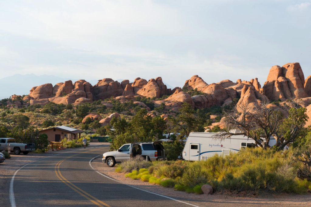
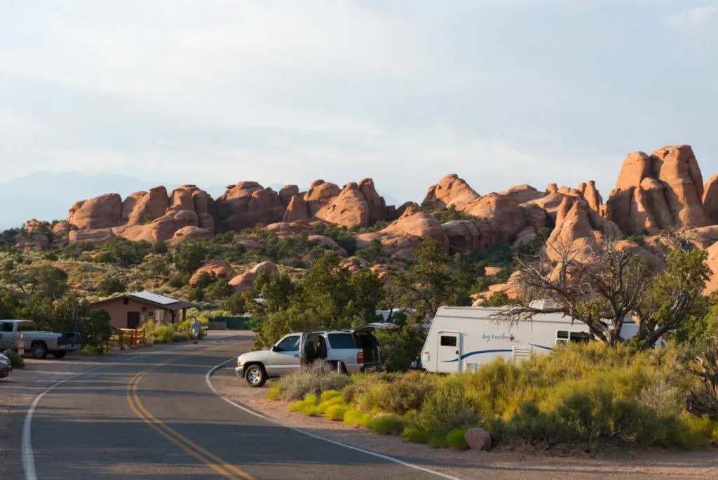
Camping In Arches National Park
While there are some fees for camping in Arches National Park, you may decide that it’s worth it for the convenience.
Rather than waiting in the line of cars to enter the park, you can start and end your day already within the park boundaries. That can be all the difference for enjoying popular landmarks like Delicate Arch, and Double Arch before the crowds arrive.
Devil’s Garden Campground
The only campground in Arches is Devils Garden Campground. It is open year-round.
Facilities include drinking water, picnic tables, grills, and both pit-style and flush toilets. The campground is surrounded by slickrock outcroppings.
Campsites are by reservation only between March 1 and October 31, while from November 1 to February 28, all sites are first-come, first-served. Between Spring and Fall, typically all campsites are reserved far in advance.
To make reservations for standard individual or group sites, visit Recreation.gov or call 1-877-444-6777.
A standard individual campsite is $25 per night (up to 2 vehicles and 10 people)
Standard sites can be booked up to six months in advance, starting at 10 am Eastern Time, and up to four days in advance.
Group site pricing is tiered, based on group size, ranging from $75-$250 per night.
Group sites can be reserved up to 12 months ahead. The campground has two group sites: Juniper Basin (up to 55 people, available March 1 to October 31) and Canyon Wren (up to 35 people, available year-round). Note that RVs and trailers are not allowed in the group sites.
- Devil’s Garden Campground is managed by the National Park Service.
- Phone: (435) 719-2299
- GPS: 38.780472, -109.591293
- Elevation: 5200’
Backpacking Campsites In Arches National Park
Another option for affordable camping at Arches National Park is getting a backpacking permit.
Backcountry tent camping sites are a great way to experience the park in a unique way. They are your ticket to see parts of the park that most visitors never see.
However, backpacking in Arches comes with its challenges. Spring and Fall are the best time to backpack safely and comfortably. And backpackers must carry all the water they need with them.
Read here for more information about backpacking in Arches National Park.
Arches backpacking permits are only issued at the Backcountry Permit Office two miles south of Moab. You can get permits up to seven days before the trip start date and up to 4:00 PM MST. Each permit is limited to seven people, three nights per campsite, for a total of seven nights. Permits cost $7 per person.
- Open Weekdays (Monday-Friday)
- 8 am-4 pm MT except federal holidays
- NPS Backcountry Permit Office
- 2282 SW Resource Blvd.
- Moab, UT
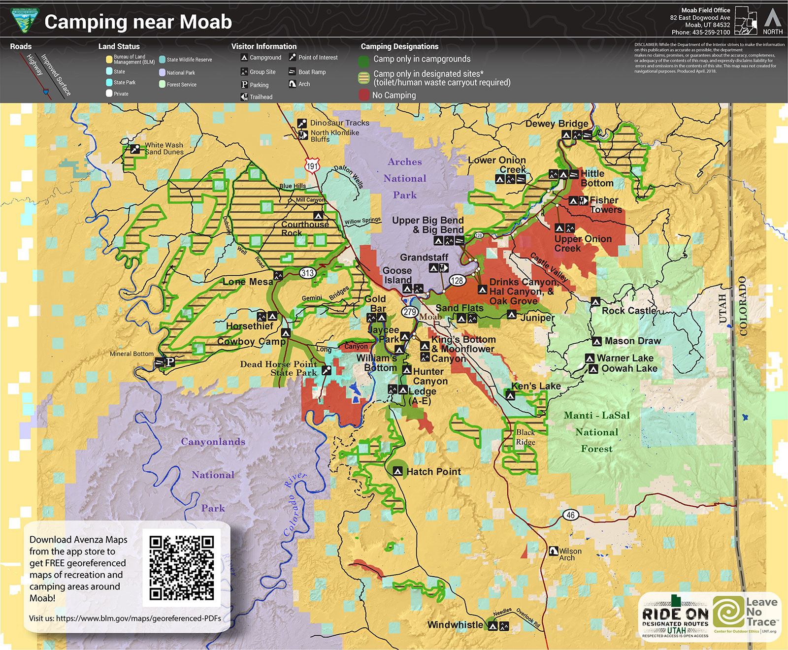
Here’s a helpful map of dispersed camping boundaries around Moab.
Important Tips For Free Camping Near Arches and Moab
Beware of Wind
While it can be windy any time of the year in Moab, the spring is especially bad. When the dust and sand starts whipping around, it’s a huge bummer for campers, especially those in tents.
Keep an eye on the forecast when you plan your camping trip. If you are in a tent, maybe consider getting some food in town rather than trying to cook outside.
Don’t Bust The Crust!
When recreating in the Moab desert it’s important to protect the biological soil crust (or biocrust). This black, lumpy crust on the desert floor is actually living organisms that are an important but fragile part of the desert ecosystem.
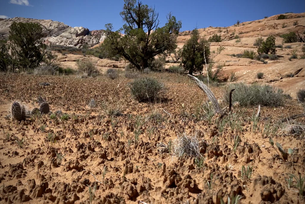
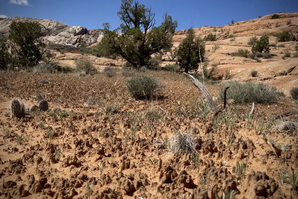
One footstep can ruin decades of growth, but vehicles and mountain bikes can really do a lot of damage quickly.
The biocrust actually helps keep the sand and dust in place when it’s windy.
So stay on existing roads, trails, and campsites in Moab. And off-trail travel should be limited to slickrock and washes.
Arches National Park Timed Entry System
Note: Arches National Park utilizes a Timed-Entry Reservation System. Entry Tickets will be required during peak season (April-October). This is in addition to a parks pass or entrance fee.
Free Camping Apps and Websites
There are a variety of camping apps and websites that can be helpful for finding exact campsites. These are great tools for people new to dispersed camping or just new to the area.
Users create pin-drops for dispersed campsites, but also places that allow overnight parking, and established campgrounds as well.
The downside is that many people use these apps as well. So it’s more likely that you arrive and find someone already at the pin.
However, there are usually other good campsites nearby. If you put in a little effort to find campsites that are not pinned online, you are usually rewarded with more solitude.
Some popular apps and websites are iOverlander, FreeRoam, Campendium, Sekr, and freecampsites.net.
Personally, we find that the iOverlander App has the most free campsites pins of any other app.
However, we love that FreeRoam can overlay BLM land and USFS boundaries. That makes it really easy to find your own dispersed campsites just by checking the satellite view along roads on public lands.
It’s not a guarantee that dispersed camping is legal on all public lands. But generally, in popular areas like Moab, there will be signage to tell you if it’s not permitted in certain areas.
Lastly, another great resource is Avenza Maps. This app allows you to download highly-detailed official maps from the BLM, USFS, USGS, etc. They have free maps available for BLM in Moab, Manti-La Sal National Forest, and more. However, reading these maps on a tiny phone screen is a little annoying. But it offers by far the most accurate and detailed mapping of public lands.
Best Time To Visit Moab
The best time to visit Moab for good weather is the Spring and Fall. Though, Fall is usually better because it’s not as windy as the Spring. Spring and Fall have the most comfortable daytime temperatures that are great for outdoor activities.
Moab is in the high desert. So as you can imagine, Summer is extremely hot, with daytime temperatures regularly over 100 degrees. And the lack of natural shade and water can make summertime visits dangerous, especially for campers.
But Moab also experiences cold winters and about 12” of snowfall per year. However, to avoid the crowds, winter is the best time to visit Moab. Just be prepared to dress in layers.
Other Paid Campgrounds Near Moab
If you are looking for paid campgrounds near Moab, there are tons of options. Sometimes it’s worth paying for the convenience and amenities, like hookups, showers, laundry, dump stations, drinking water, shade structures, and more.
You can find a list of paid campgrounds on discovermoab.com.
Explore More In Utah

Utah is probably our favorite states for outdoor adventures. And there is so much more to see beyond the bounds of Moab.
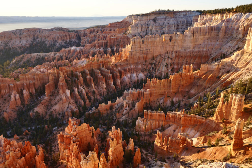
If you are checking off that National Parks bucket list, then you have to visit Utah’s “Mighty 5” National Parks. That includes Arches National Park, Canyonlands National Park, Capitol Reef National Park, Bryce Canyon National Park, and Zion National Park.
Or avoid the Crowds at the Incredible San Rafael Swell.
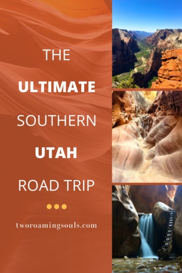
This is a great Utah Road Trip Itinerary that hits all the National Parks.

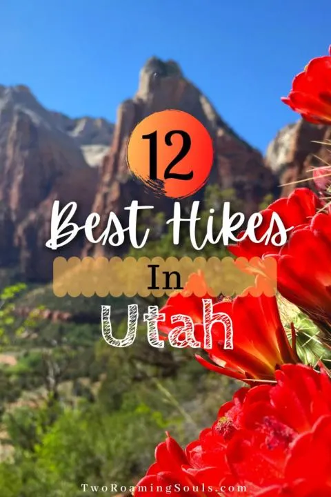
Check out our Top 12 Hikes In Utah.
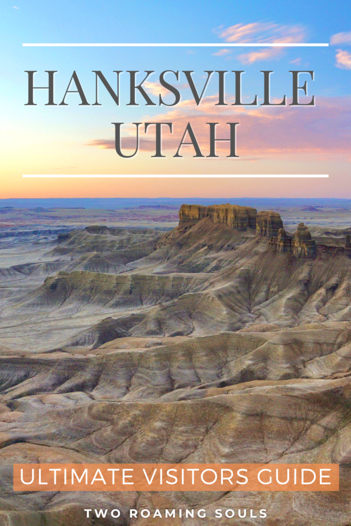
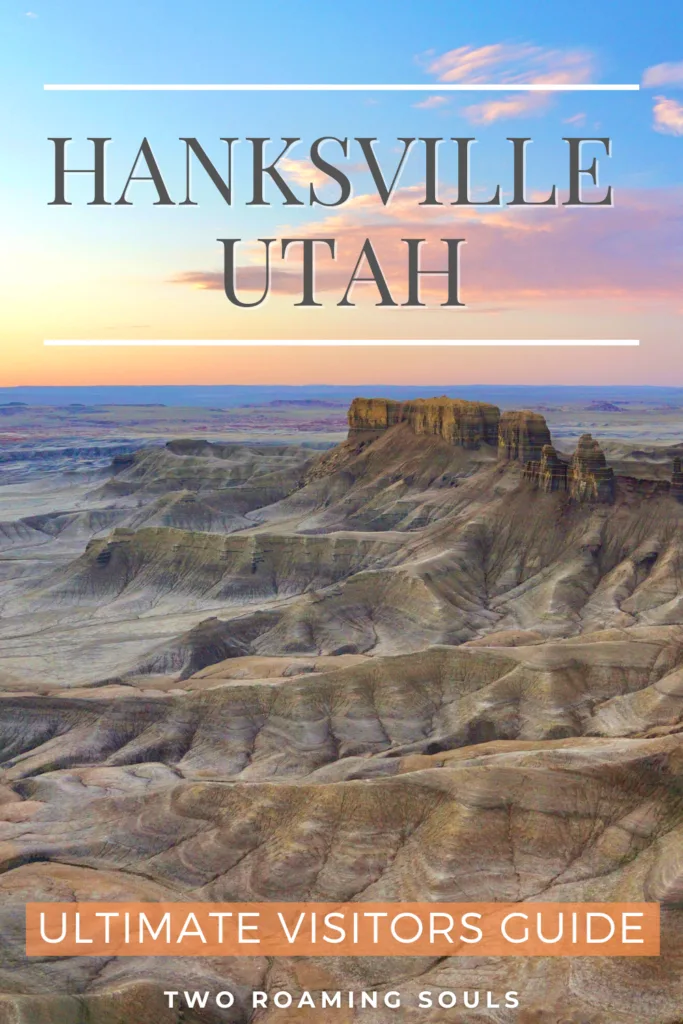
See the otherworldly desert scenery around the unsuspecting town of Hanksville Utah.
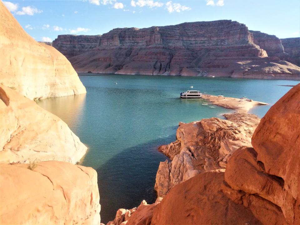

Or plan a Lake Powell Houseboat Trip (Hands down, our absolute favorite trip, we’ve done it 4 times now!)
Help Share ‘Best Free Camping Near Arches & Moab’ On Pinterest!