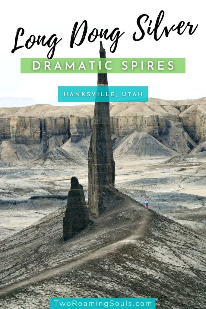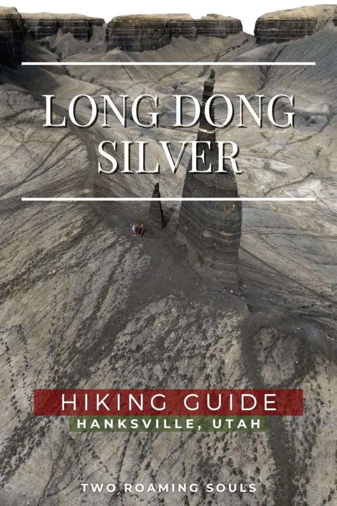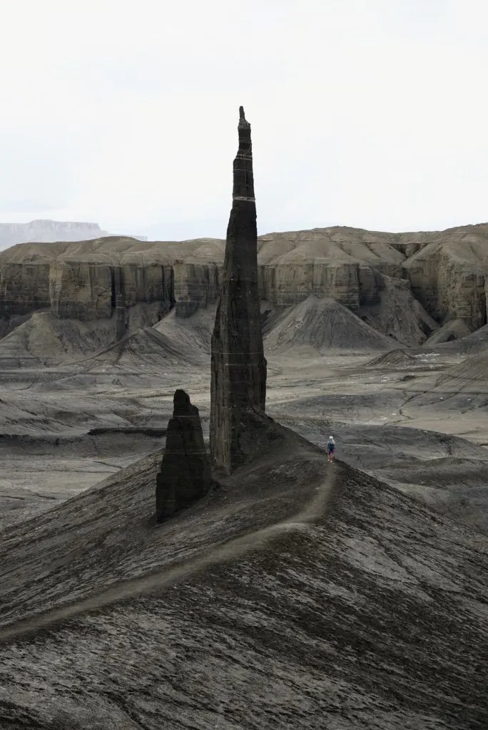
In a seldom visited corner of the Utah desert, a lone pair of pointy towers jut towards the sky. Long Dong Silver is the funny nickname given to these giant sandstone spires near Hanksville, Utah. The rock formations are hidden within a natural amphitheater of cliffs and badlands.
Long Dong Silver was once part of a continuous layer of sand and rock with the cliffs surrounding it. But millions of years of erosion created a natural amphitheater, leaving just a lone pair of stoic spires in the middle.
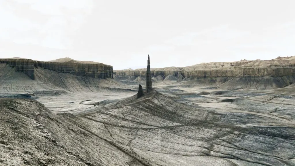
This dramatic landscape attracts photographers, geology buffs, and nature lovers to admire this unique formation. This post shares everything you need to know to visit this off-the-beaten-path natural wonder.
Hiking Stats: Long Dong Silver
- Difficulty: Easy
- Distance: 2 miles round trip
- Type: Out-and-back
- Elevation: Not much, maybe 150 ft
- Bathrooms: No
- Dogs: Yes
Parking For Long Dong Silver
The “trailhead” for Long Dong Silver is at these coordinates here (38.3824761, -110.8384185). It’s the closest you can get to it by car.
You reach this spot by taking a “dirt road” that turns north off of Utah State Route 24 between Hanskville and Caineville. But it’s really less of a road and more like unofficial tracks in the barren landscape.
The turn for this dirt road is located at these coordinates (38.3694334, -110.8319161). And after a half mile, there is a crucial left-hand turn here (38.3766348, -110.8303427). Eventually, you reach the trailhead when you come to “No Motor Vehicles past this point” signs. Park your vehicle and hike from there.
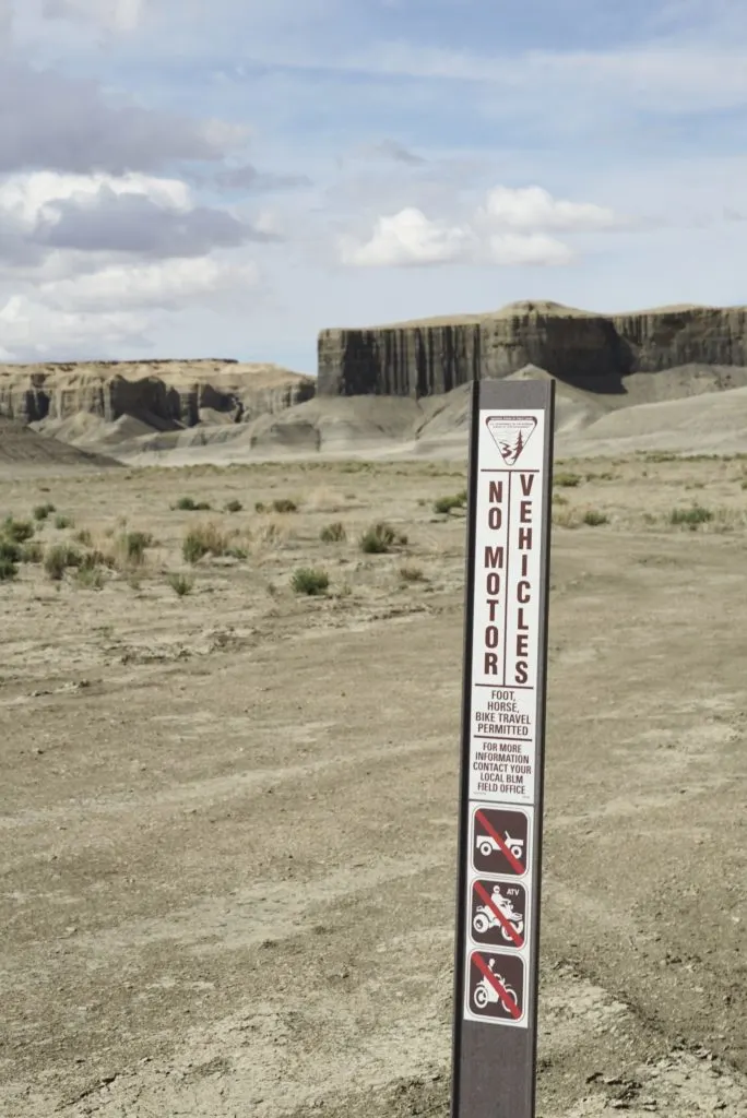
When dry, even a low clearance 2wd vehicle can probably make it to the “trailhead”. But beware that in wet conditions, the soft clay in this area can turn into impassable mud.
If you don’t want to take your vehicle off-road, you can simply park at a highway pull-off on Utah-24 here (38.3695556, -110.8405833). The hike from the highway is about twice as long, but still very flat and easy.
There are no bathrooms or trash services at the trailhead or along the hike. So plan accordingly. Hanksville is the closest town (about 3/4 mile east).
Hiking Instructions
From the trailhead, the hike to Long Dong Silver is about 2 miles round-trip on sand and clay.
You will notice vehicle tracks leading all the way to Long Dong Silver, but please don’t drive on them. The Bureau Of Land Management (BLM) has taken these steps to protect the natural landscape from visitor damage.
Instead, follow the tracks on foot as they will lead you to the final destination.
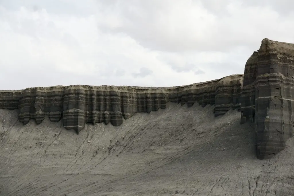
You will not see Long Dong Silver until you are quite close, since it’s encircled by cliffs.
Doing The Hike Without Off-Roading
If you choose not to drive your vehicle off-road to the trailhead, you can hike from a highway pull-off mentioned above.
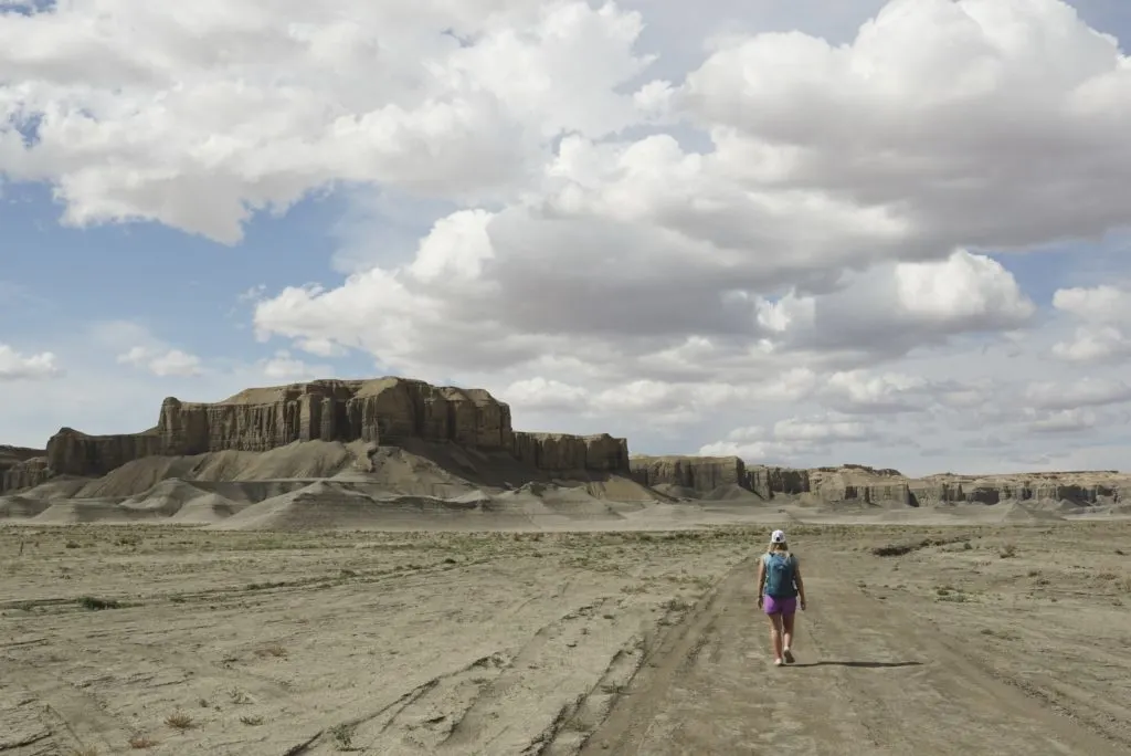
This 4-mile round-trip hike from here is the most direct route. You can follow the unofficial tire tracks all the way to Long Dong Silver.
We noticed that the BLM put a “No Motor Vehicles” sign here to direct people to the other aforementioned “road”. Admittedly, it’s sometimes difficult to distinguish what is an official “road” out here.
Tips For Hiking Long Dong Silver
Leave No Trace
This area has no services, so please follow the Leave No Trace principles to help preserve this area for all future visitors. Pack it in, Pack it out. And stay on existing trails.
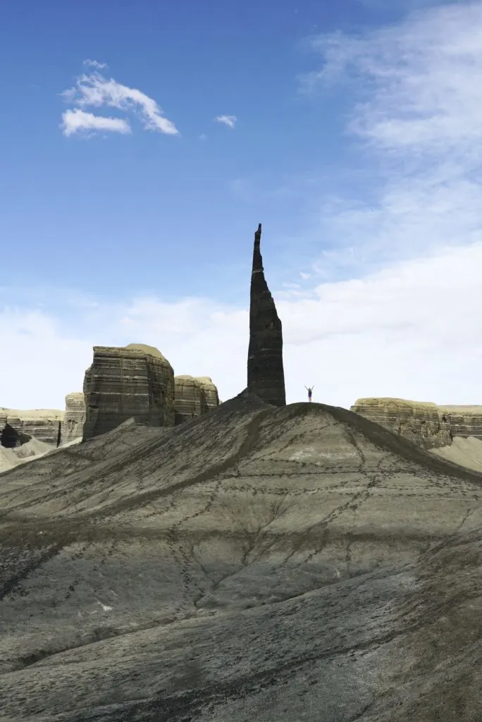
Since there isn’t really an official trail, people will naturally explore the area freely. You will notice footsteps from people breaking new paths randomly. Don’t do this, it damages the landscape’s natural crust which is essential for the desert ecosystem. Plus it helps keep airborne sand down, and personally it looks ugly.
There are already worn paths pretty much everywhere you would want to go.
Best Photo Spots At Long John Silver
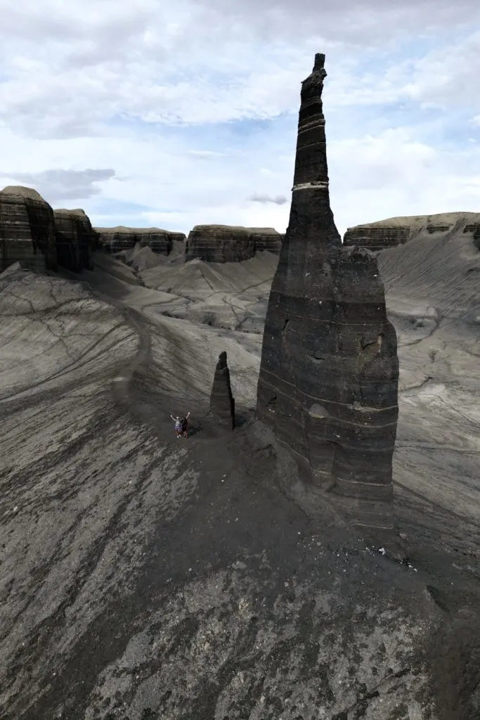
Early morning or sunset provides the best chance for dramatic shadows that accentuate the shapes of the landscape.
In our opinion, the best place for photos is along the ridge uphill from Long John Silver (first photo in this post).
First walk right up to the base of it, because who wouldn’t want to see this massive spire up close?
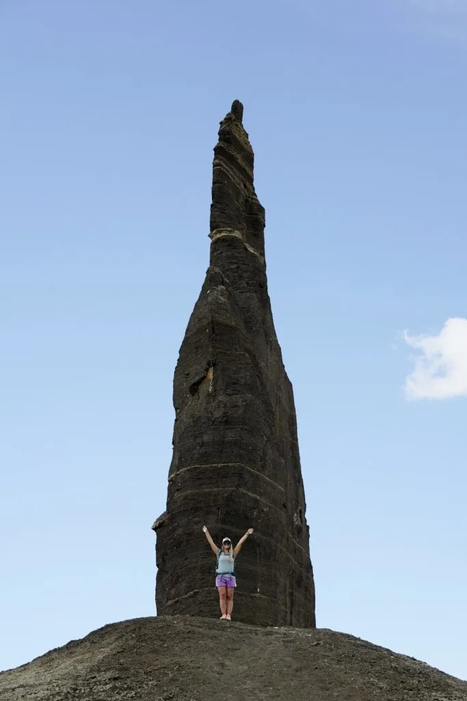
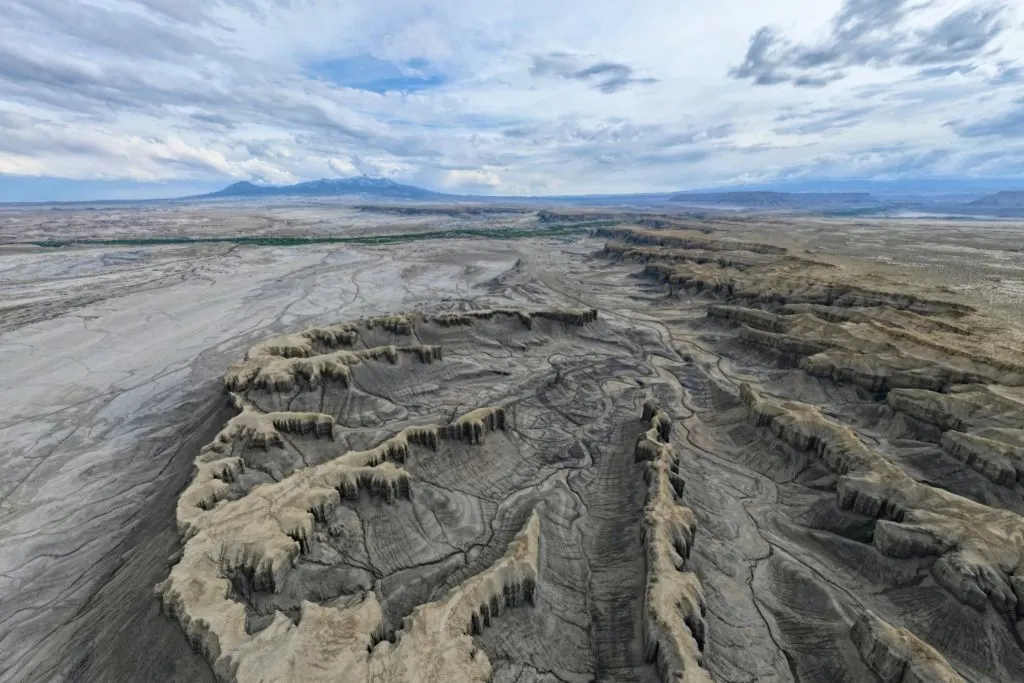
Then continue the path along the ridge that goes uphill. From there you get a nice perspective over the two thin towers and the surrounding area.
Aside from that, we found that it’s a great place to fly a drone (albeit kind of loud if anyone else is there). Luckily we had this place all to ourselves. With a drone you can get a unique perspective of the amazing landscape.
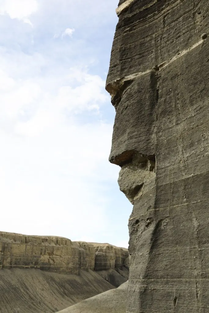
Bonus: if you turn around at the top of the ridge, you might see this inconspicuous “face rock” notched into the cliffs behind you.
The Best Time For Hiking Long Dong Silver
The best time of year to hike Long Dong Silver is spring or fall, when temperatures are the most comfortable. But beware of the wind in the spring.
Summer can be brutally hot, and there is no shade anywhere along the trail. The hottest hours of the day are typically between noon and 6pm. So an early morning hike might be okay.
You can hike in winter as well but expect cold temperatures. And the possibility of snow and precipitation might make driving to the trailhead impossible.
Bring Plenty Of Water
Despite being a short and relatively easy hike, the heat, dryness, and lack of shade can really contribute to dehydration. You should bring at least 1 liter of water per person.
Avoid Windy Conditions
The area is very sandy and dusty with little natural cover from wind. If wind gusts are forecasted over 25mph, I would save this hike for another day.
Takeaway: Hiking To Long Dong Silver
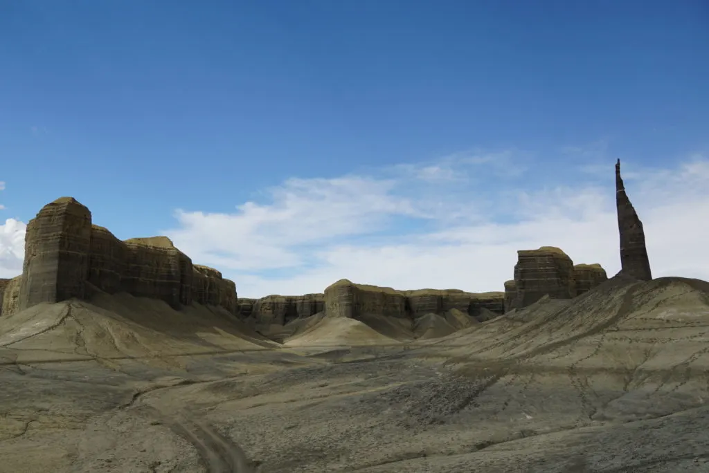
This short off-the-beaten-path hike is a cool destination to visit in Utah. These pointy black spires shooting up out of the dramatic landscape is like a scene from a fantasy movie.
Without any signage or trailhead for Long Dong Silver, it’s very easy to miss it. You may find more solitude here, since most people are likely busy exploring nearby stunners like Capitol Reef National Park, Lake Powell, Goblin Valley State Park, etc.
Don’t forget to fuel up at one of Hanksville, Utah’s best restaurants.
Save This ‘Long Dong Silver Hiking Guide’ For Later
