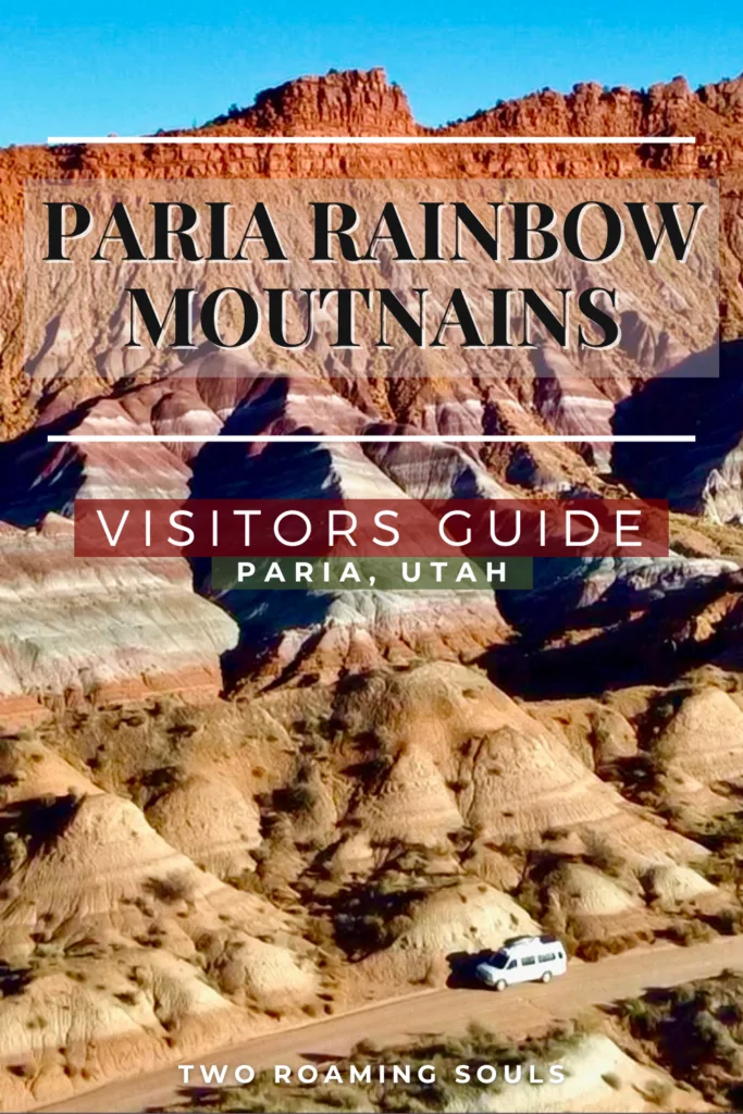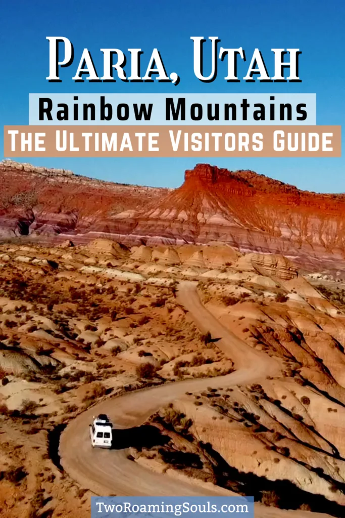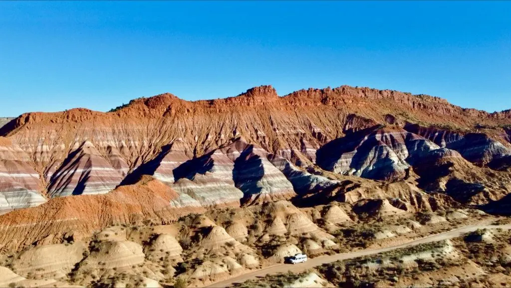
The Paria Rainbow Mountains might be the most visually appealing mountain range in southern Utah. These stunning formations are located in central Kane County just a short drive off Hwy 89.
The Paria Rainbow Mountains are also often referred to as the Paria Badlands. The beautiful colors are remnants of volcanic ash, mudstone, siltstone, sandstone, and conglomerate that have been carried around from nearby mountains via the river system.
In this guide we will provide a brief history of the Paria Badlands, how the colorful layers came to be, and what to do in the area. Visiting the Paria Rainbow Mountains can be just a quick detour off the road or you can enjoy the scenery on a hiking adventure.
History of The Town Of Paria
In the late 1800’s the town was known as the town of Pahreah. During 1870 to 1929 the town of Paria was home to a Mormon group led by Peter Shirts. Early settlers moved to the area for farming.
But due to the town of Paria’s location near the opening of a Canyon, it was prone to flash floods. Many of the farms and sandstone houses were washed away by various storms over the years. For obvious reasons, many people moved away.
In 1911 a small gold mining operation was established, but was shortly wiped out, by yet another flash flood.
How To Get To The Paria Rainbow Mountains & Road Conditions
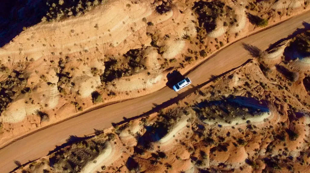
Paria is located on the south tip of Grand Staircase-Escalante National Monument along the Utah and Arizona border. It’s a popular stop when traveling on a road trip from Page to Zion National Park.
Paria is a quick detour off hwy 89. After turning off the highway, the road turns to dirt. Follow Paria Movie Rd (BLM 4250) for 5.8 miles. The road is a wash-boarded dirt road, but high clearance, 4×4 is not required.
Any regular vehicle should be able to make it safely to the first parking lot. Although road conditions can become impassable when wet.
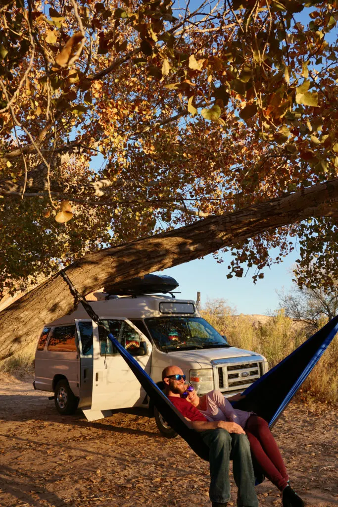
The section from the parking lot to the picnic area turns into a bit of softer sand. We did it in our campervan, which is rwd and had no issues. But if you are uncomfortable driving on soft sand, you can walk this remaining section.
This area is prone to flash floods, so always check the weather before driving the dirt road.
The Colorful Layers Of The Paria Badlands
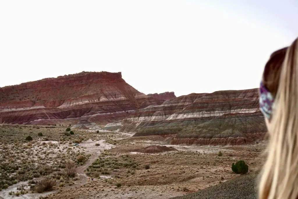
The colorful layers that make up the Paria Mountains are due to the river system over 200 million years ago. Volcanic ash, mudstone, siltstone, sandstone, and conglomerate were carried through the river ways and deposited on the earth’s surface.
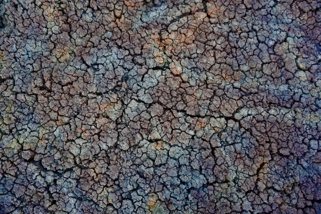
The rainbow colors of the Paria Badlands are made of bentonite clay and are part of the Chinle Formation.
What To Do At The Paria Rainbow Mountains
Scenic Drive Along the Paria Rainbow Mountains:
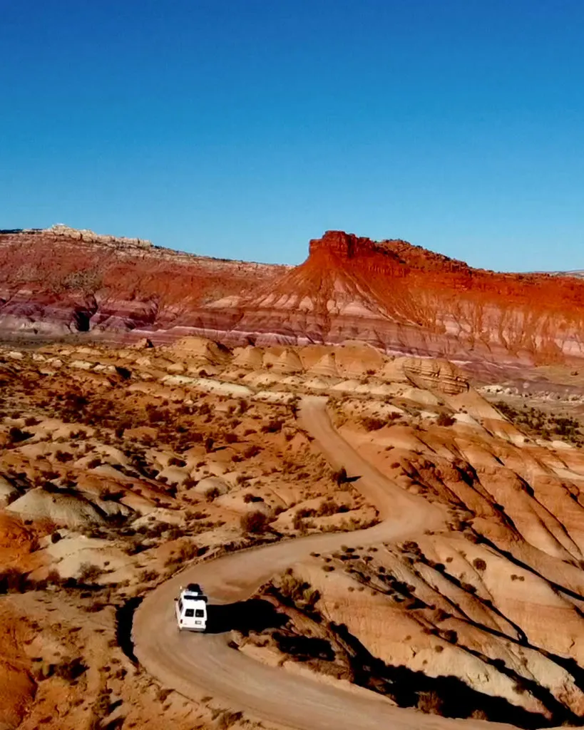
Really the drive right off of Hwy 89 is pretty scenic and more than enough of a reason to take the journey. The drive is about 6 miles and parallels the stunning colorful mountains.
Picnic Lunch With A View of the Paria Rainbow Mountains:
At the end of the scenic drive, once you hit the Paria River, there is a nice picnic table to enjoy the beautiful view. There is one nice tree offering shade.
Visit The Old Paria Cemetery:
There is an old cemetery near the end of the road. There are only headstones in place with no names, but a single plaque with the names of the early settlers.
Visit The Old Paria Townsite:
The town of Pahreah was once an area for early settlers. While flash floods pushed them out, there were still a few strong houses that lasted through many of the natural disasters. But with Paria Canyon still being a popular spot for flash floods, there are little remnants of the old houses still there today.
You can get there by parking at the end of the road near the picnic area. Then, slightly backtrack on the right side through the wash or along the Paria River southeast. You will need to cross the Paria River to get to the townsite location. More details below.
Hike North Up The Paria River:
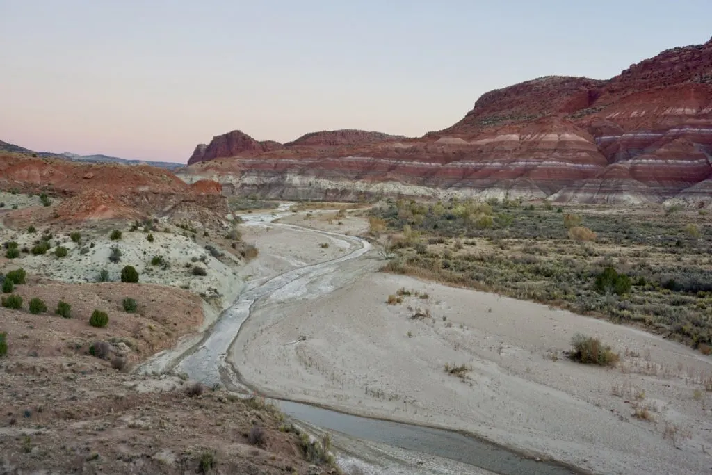
While there is no designated hike, you can venture North upstream of the Paria River. You might need to cross the stream a few times, but there will likely be a walking path on either side of the Paria River.
Again, do note that flash floods are popular in this area, so be sure to check the weather and make sure no rain is in the forecast, in both Paria and nearby towns. If there is any chance of rain, you might want to skip hiking through the canyon.
Side Canyon Adventure in Kitchen Canyon & Starlight Canyon:
If you decide to venture up the Paria River, there’s a side canyon called Kitchen Canyon to the left (west). This canyon breaks off into two side canyons: Starlight Canyon to your left and Drip Tank Canyon to the right. These two slot canyons don’t get much traffic and the conditions can change depending on the weather.
The hike leads to a narrow slot canyon that can be fun to venture through. Some of the narrow slot canyons might have water and prevent hikers from staying dry.
You can always adventure as far in as you like or turn around when the slot canyon gets challenging.
Is There A Ghost Town in Paria
While Paria is still technically a ghost town, there is not much left of what used to make up the town. Due to the reason settlers left (flash floods), much of the area has since been washed away.
You might be able to find the remaining frame of an old stone house and wood scraps.
Movies Filmed At Paria Badlands
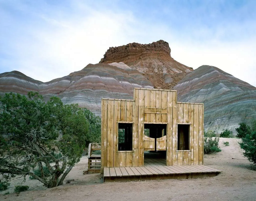
Paria was a popular filming location in the mid to late 1900’s. You might be able to notice the famous Paria Rainbow Mountain backdrop in films such as Buffalo Bill and Sergeant 3.
There used to be an old movie set for tourists to visit, but it has since burned down due to a suspected arson.
Attractions Nearby Paria Rainbow Mountains
The Wave (33min drive):
The Wave is a hike on the border of southern Utah and northern Arizona, with hard-to-obtain permits. It is located in the Coyote Buttes North which is a small portion of the Paria Canyon Vermilion Cliffs Wilderness.
This hike is a challenging 6.2 miles with 1,167 feet elevation change. The stunning swirl rock formations are what draw people in.
The hike starts at the Wire Pass trailhead, which is a long sandy road (4×4 or AWD highly encouraged).
Learn more about The Wave Hike
Buckskin Gulch (33 min drive):
Buckskin Gulch is an epic canyon backpacking adventure nearby. It does require a bit of advanced planning and can take multiple days to hike through.
The hike for Buckskin Gulch ranges from 20-45 miles. The “shorter” route is from Wire Pass to White House Trailhead, which is 20.6 miles. And the second “longer” route is from Buckskin Gulch Trailhead to Lee’s Ferry which is 45.6 miles.
Coral Pink Sand Dunes State Park (57 min drive):
The Coral Pink Sand Dunes State Park is made up of sandstone erosion from over 225 million years ago. These massive sand piles collected here from persistent wind and now serve as a fun attraction for hikers, sand surfers, and off-roading.
There are a few ATV and UTV rentals nearby where you can rent out your own rig to take up and around the sand dunes.
If you are interested in renting an off-road vehicle, check into: Coral Pink ATV Rentals or ATV Rentals Utah.
White Pocket (2 hr 4 min drive):
White Pocket is close in distance as the crow flies, but getting to the location is an adventure in itself. The drive out there requires 4×4 and high clearance due to deep sand. White Pocket can be a great alternative to the wave hike and doesn’t require permits.
After the long drive out, the world is your oyster. There are no designated hikes, but unique rock formations that will keep you mesmerized for hours.
Takeaway | Paria Rainbow Mountains
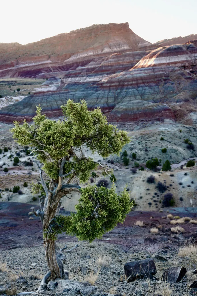
If you don’t want to make the long trek to Peru for the world-famous rainbow mountains, you can head to southern Utah to witness these stunning rainbow mountains of Utah.
Okay, not exactly the same, but the colorful mountains are surely a sight that is beautiful to everyone. We hope you have an amazing journey exploring this natural wonder.
Save This pin for the ‘Paria Rainbow Mountains’ For Later
