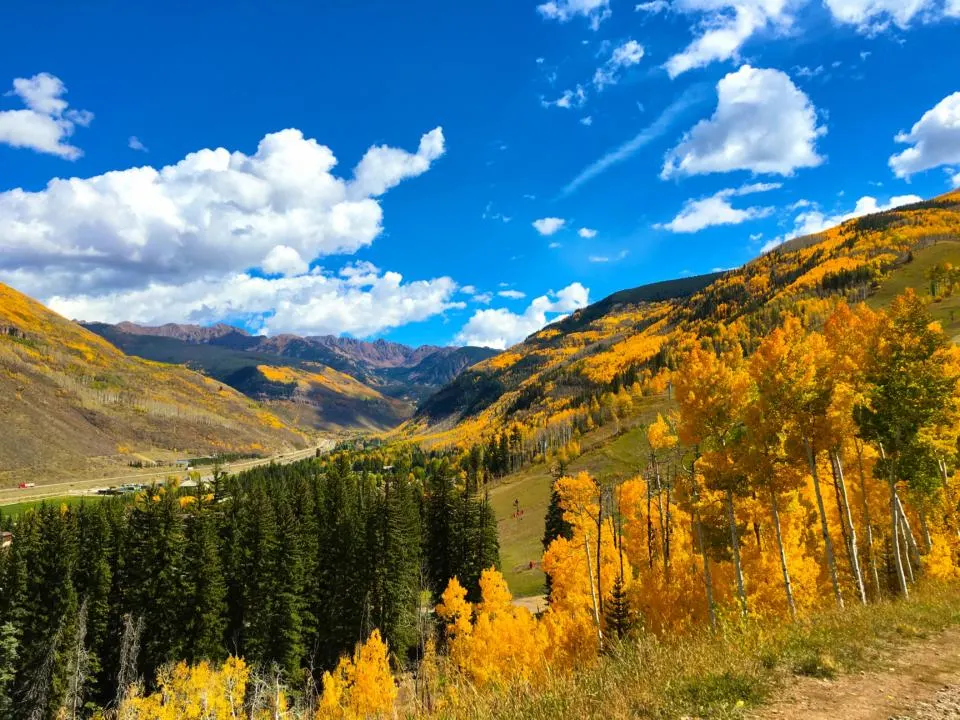
Stick around to read all the best hikes in Vail to see fall colors. Seeing the aspen leaves change colors in the fall is one of Colorado’s most amazing natural spectacles. The leaves on the aspen trees ignite in a fiery display of vibrant orange and yellow. But the window of time to catch this magnificent display is very short. The best time to see aspens change in Vail Colorado is typically late September, but it varies based on elevation and climate.
Luckily Vail, Colorado has many hikes to choose from that offer great views of aspen trees changing. Whether you are looking for a short nature walk or an all day adventure, Vail has plenty of options for leaf peeping.
This post may contain affiliate links. Disclosure policy.
Booth Falls Trail
Trail Stats | Booth Falls Trail
Distance: 4.2 miles
Elevation: 1,358 feet
Difficulty: Moderate
Type: Out & back
Permit: No
Bathroom: No
Dogs: Yes (On Leash)
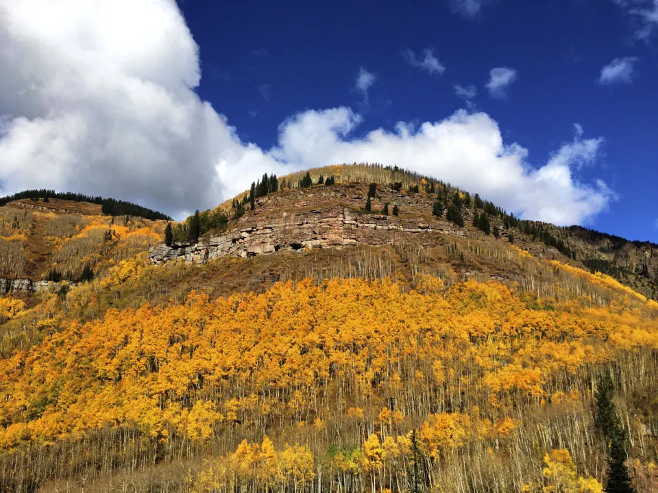
Booth Falls is one of the most popular hikes in Vail because it’s relatively easy and close to town. The trail is only a short distance from Vail Village and offers incredible views from start to finish. The trail climbs steadily right from the beginning, but rewards hikers with great views of Booth Creek, aspen trees, pine forests, alpine meadows, and craggy peaks. There are plenty of aspen trees all around and a couple groves that you walk right through.
Booth Falls itself is actually a little underwhelming, mostly because there isn’t a good view of the falls. You only get a view of the 40ish foot falls from above and you mostly just see the top of the falls pouring over. But in a notoriously dry state, Booth Falls is still an impressive waterfall to hike to. There are a couple smaller cascading falls immediately upstream from Booth Falls.
Most people will turn around at Booth Falls, but if you are up for a longer hike you can continue up to Booth Lake. The total stats to include Booth Lake is 10 miles and 3,051 feet elevation. So hiking to Booth Lake is only recommended for experienced hikers in good shape.
Gore Creek Path
Trail Stats | Gore Creek Path
Distance: 1.8 miles
Elevation: 209 feet
Difficulty: Easy
Type: Out & back
Permit: No
Bathroom: Yes (by Gore Creek Mini Golf and Donovan Park)
Dogs: Yes (On Leash)
One of the easier “hikes” on the list, and easily accessible if you are staying in Vail Village or Lionshead. It’s a paved path that runs along Gore Creek from Lionshead village to Donovan Park. Part of the trail passes through the more built up portions of Vail (read: there’s tons of massive hotels, restaurants, shops, condos, ski lifts, etc.). But there’s still plenty of trees and several spots where the path has more solitude along the creek. Aspen trees can be seen on both sides of the valley during many parts of the hike. And you can continue on Gore Valley Trail which takes you even farther west.
Gore Valley Trail (East Vail)
Trail Stats | Gore Valley Trail
Distance: 2.8 miles
Elevation: 200 feet
Difficulty: Easy
Type: Out & back
Permit: No
Bathroom: No
Dogs: Yes (On Leash)
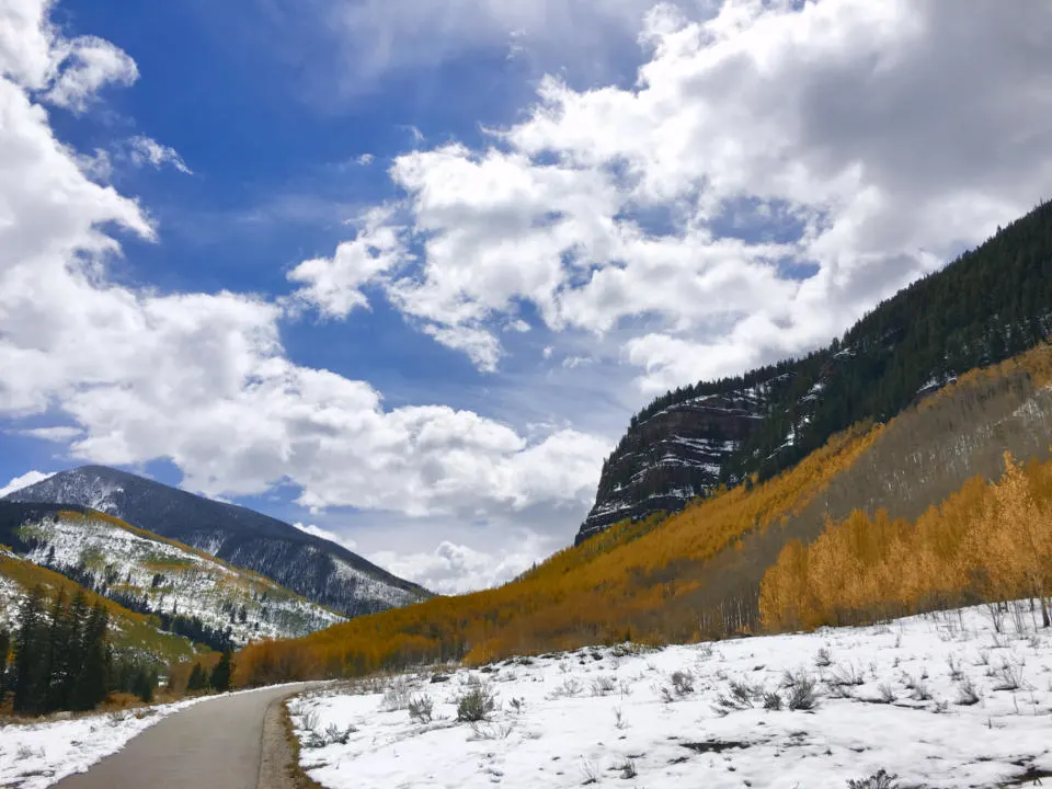
Another one of the easy hikes in Vail to see fall colors is Gore Valley Trail. The trail has sections both east and west of Vail, but I prefer the East Vail section. It’s a paved path in East Vail that follows the Gore River and has great views of the Gore Range and plenty of fall colors from the aspen trees. The path is used by bikers as well, so be aware of them passing.
You can also use the free bus system to access the trailhead and/or shuttle you back to your starting point if you choose. A good starting point if you are driving is this small parking lot or take the East Vail Bus to the Pitkin Creek Bus Stop.
Strawberry Lane Trail
Trail Stats | Strawberry Lane Trail
Distance: 2.7 miles
Elevation: 682 feet
Difficulty: Moderate
Type: Out & back
Permit: No
Bathroom: No
Dogs: Yes (On Leash)
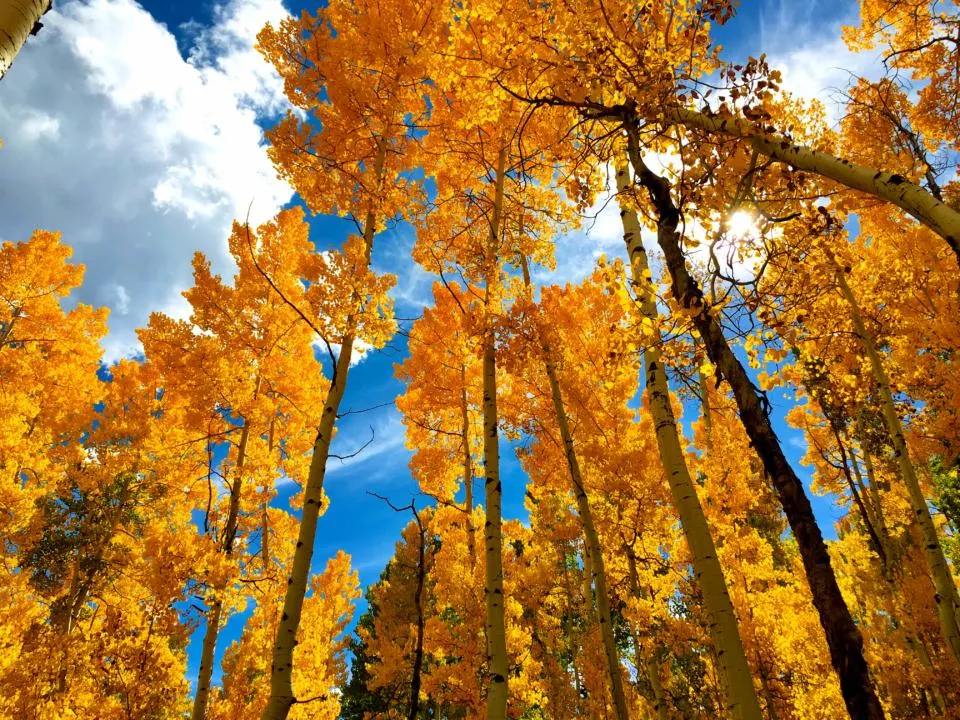
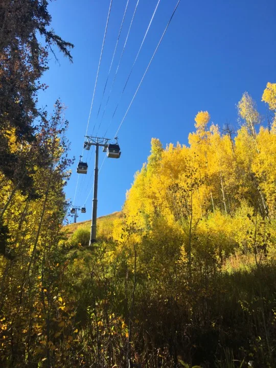
This trail begins right at the main Gondola in Vail Village. If you are looking for any easy way to be surrounded by aspen trees changing color, Strawberry Lane is a great option. You are immediately thrust into a grove of aspen trees. The trail is very steep because it basically goes straight up the ski resort. But you also don’t have to go to the end, because the trail end is rather arbitrary.
Hiking among the ski lifts and ski runs isn’t the most wilderness experience, but again there are tons of aspen trees, and decent views.
Upper Piney River Falls Trail
Trail Stats | Upper Piney River Falls Trail
Distance: 5.9 miles
Elevation: 728 feet
Difficulty: Moderate
Type: Out & back
Permit: No
Bathroom: Yes
Dogs: Yes (On Leash)
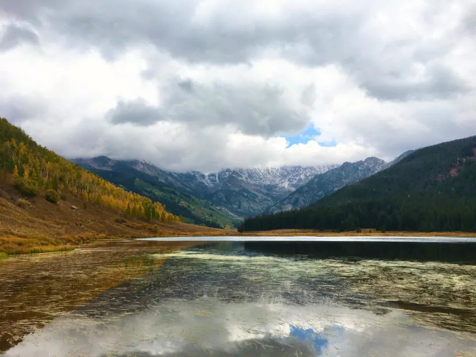
Getting to Upper Piney River Falls Trail is a bit of an adventure. You have to take a 45 minute drive on a rough dirt road, that’s rocky and often washboarded. The trail begins at Piney River Ranch, a private 40-acre ranch that’s a popular spot for weddings, gatherings, and day trips. The ranch looks over Piney Lake with the Gore Range towering over and is one of the most picturesque spots in all of Colorado.
The Upper Piney River Falls Trail has incredible views right from the start, and the trail winds through some beautiful aspen groves. I also love how some of the plants on the forest floor also change color too.
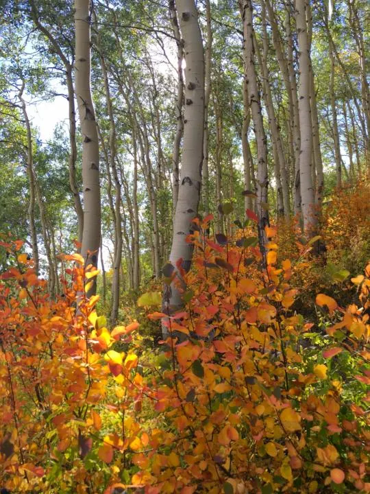
The result is a burst of fall foliage colors that completely envelop hikers. The trail ends at a waterfall that cascades down a narrow chute amongst a rocky cliffside.
The road to the trailhead is only open seasonally from June to September.
Meadow Mountain Trail
Trail Stats | Meadow Mountain Trail
Distance: 9.4 miles
Elevation: 2,060 feet
Difficulty: Moderate
Type: Out & back
Permit: No
Bathroom: No
Dogs: Yes (On Leash)
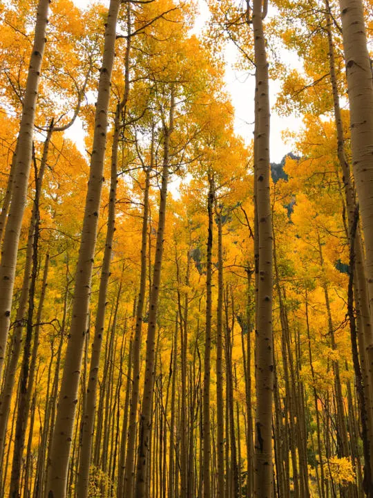
Another one of the best hikes in Vail to see fall colors is Meadow Mountain in Minturn, CO. The trail has very little shade, especially in the beginning. The start of the trail is on a dirt service road and can be a little boring. But after a couple miles it enters into several great aspen groves. And views of the surrounding mountains start to emerge.
Berrypicker Trail
Trail Stats | Berrypicker Trail
Distance: 7.9 miles
Elevation: 2,286 feet
Difficulty: Hard
Type: Out & back
Permit: No
Bathroom: Yes
Dogs: Yes (On Leash)
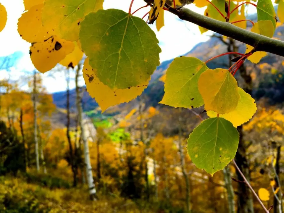
Berrypicker Trail is one of the best hikes in Vail to see fall colors. It’s another trail that switchbacks up the Vail Ski Resort. So the trail is quite steep but offers several great aspen groves for leaf peeping. However you can make the hike easier by taking the gondola up or down. So you can basically cut the length in half if you ride the gondola one way. If you put in the effort of hiking up, the gondola ride down is free. But if you want to ride up the gondola, it’s $37.
Takeaway | Best Fall Hikes In Vail Colorado
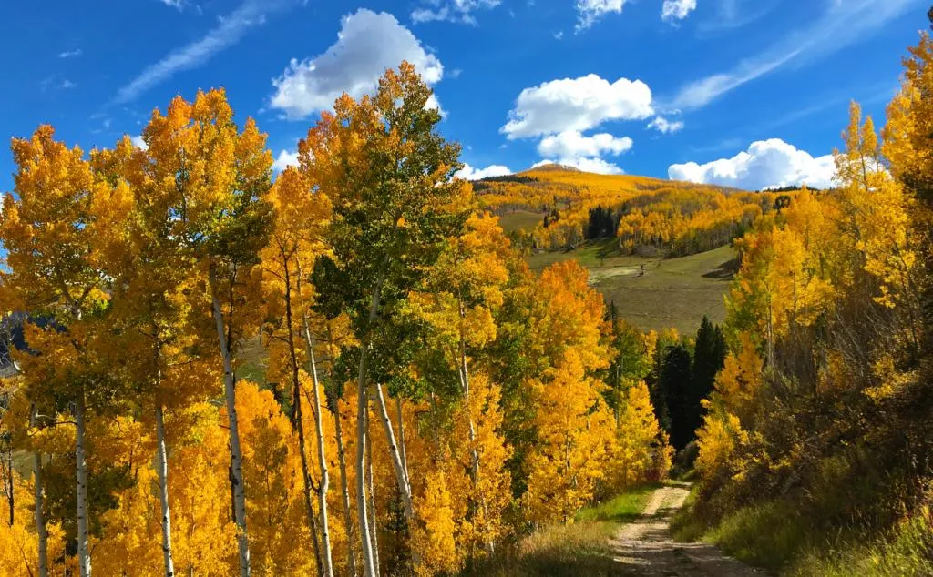
Vail, CO is stunning all year round, but seeing the aspen leaves turn to a bright yellow is certainly a beautiful sight. And Vail has no shortage of aspen trees, so there’s tons of great hikes to witness the changing leaves in fall. But peak colors in Vail is very short and sweet. Mid to late September is usually the prime time to plan hikes to see the leaves changing. We hope you enjoy this guide for the best fall hikes in Vail and you get out to enjoy some beautiful trails this fall.
After you’re done hiking, head to these cheap yet delicious restaurants in Vail.
Help Share ‘Best Fall Hikes In Vail’ On Pinterest!


Kelly Lemon Photography - Kelly Lemon Photography Blog
Monday 25th of October 2021
[…] create an unforgettable backdrop. I highly recommend stopping for a hike if you are in the area! Here is a list of the the best hikes that showcase these glowing treasures! Scroll down to see more of JD and […]