
Stowe Vermont offers some stunning scenery. Whether you are looking for an easy trail to stretch the legs or a full on adventure to the highest peak in Vermont, there is a hike that fits everyone’s desired terrain. And really no matter the season you are visiting Stowe, the views are absolutely breathtaking. So let’s dive into the best hikes in Stowe, Vermont.
This post may contain affiliate links. Disclosure policy.
Stowe Pinnacle:

3.7 miles – 1604 ft elevation
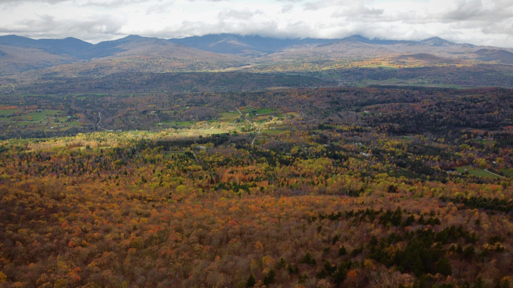
Stowe Pinnacle is one of the most popular hikes in Stowe. It is not the easiest of hikes as there is a decent incline, but the views over the town and mountain landscape are absolutely breathtaking.
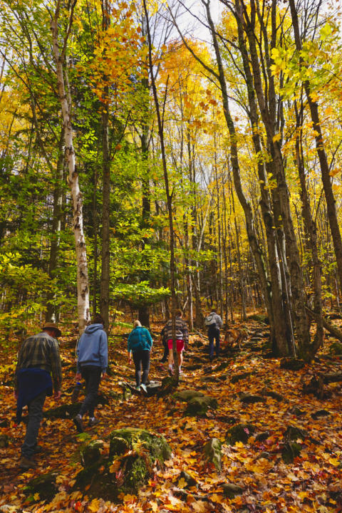
The start of the hike is rather mellow, and you meander along wooden beams. The area can be wet depending on the time of year, so the wooden beams can help keep your feet dry. After this first section, a mellow climb begins. You will be surrounded by beautiful birch & maple forest.
Depending on the season, the trail can become very muddy about ½ way up. About 2/3rd up the trail, a serious incline begins. When we traveled in late October, the trail was covered in mud. We had a few slips within the group. So be extra careful in this area.
After a steep incline at the end, you are rewarded with stunning views over the town of Stowe and surrounding mountains.
Note: You will see signs for a vista point about 1/3 miles from the top, but it is heavily overgrown and you won’t get a good view. So we suggest continuing on past the vista to the real destination!
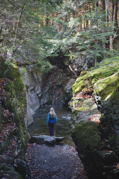
Moss Glen Falls:
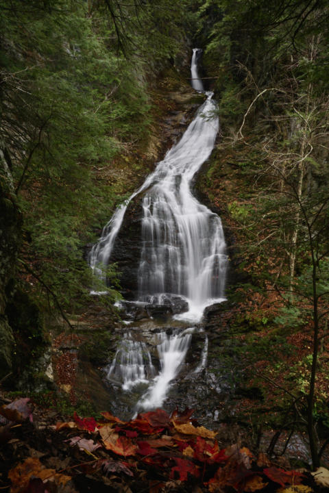

.6 miles, 118 ft elevation
Moss Glen Falls was Jake’s and my favorite hike in Stowe Vermont. It was a very easy hike with little elevation change and leads you to a breathtaking waterfall.
The hike starts off along a wooden path through wetlands. Then, you will encounter the river, where you might be able to spot beavers or previous beavers work.
The last section of the hike is where the climb begins, but it isn’t very long. There will be a section roped off for your safety and an end of trail sign. This is the viewpoint for the waterfall. This section can be hard to navigate for people with balance issues. So the end of this hike does take some good hiking coordination.
Bingham Falls:
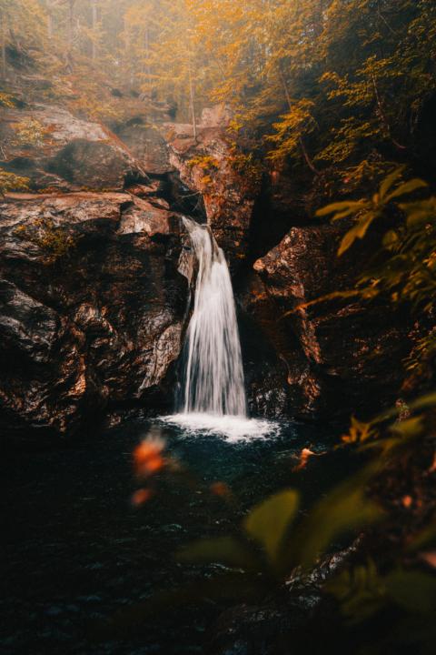
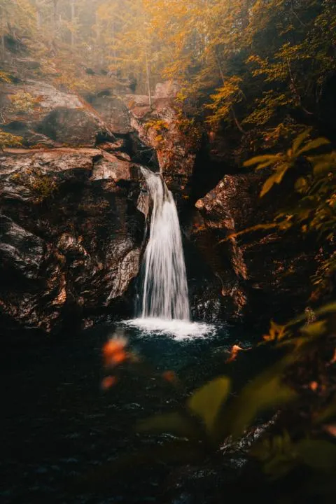
.5 miles, 144 ft elevation
Bingham Falls is a fairly easy hike to a small, but stunning waterfall. The trail starts off with a mellow decent and leads you to the top of the gorge. When the trail forks, you can continue left to follow the upper gorge or go right down to the falls. Proper footwear is encouraged.
The section down to the falls can be steep and slippery. But you can meander down to the water to get a beautiful view of the cascading 40 foot waterfall.
You can also reach the falls from Mill Trail. Although this route will be a bit longer, it is relatively easy and well-maintained. The trail is 1.3 miles with 154 feet elevation change. Plus you can go further than the waterfall if you are looking to get a bit more exercise.
We also enjoyed a crevasse that led down to the water which offered natural moss & a fun photo opp.

Sterling Pond:
2.3 miles, 908 ft elevation
Sterling pond is a fan favorite near Stowe, VT. But be prepared for a steady climb, but a beautiful view at the end.
The hike starts from the Smuggler’s Notch Visitor Center. Be prepared to climb right from the start. First, you will encounter man-made stairs made from rocks where you will be encompassed by deciduous trees.
At around 1 mile into the hike, you will encounter Long Trail. Turn right onto the trail and you are almost to the pond.
Once you make it to the pond, it is surrounded by beautiful trees. During calm weather (typically sunrise & sunset) you can snag a beautiful reflection of the trees on the water. Be sure to stay on the designated path and respect the area as this is sensitive vegetation.
Mt. Mansfield:

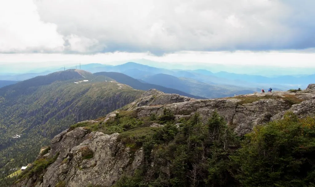
7.3 miles, 2,880 ft elevation
Mt. Mansfield is the highest peak in Vermont, standing 4,395 feet high. So it can be a challenge to climb, but definitely worth the views. The peak is also supposed to resemble a man’s face looking up at the sky which is a unique site to see.
The hike to Mt. Mansfield can be made a loop, which is personally one of our favorite ways to hike. This way you are amazed with new views the whole hike.
The hike starts at Underhill Trailhead which is in the Underhill State Park. The cost is $4 to park in the lot.
From the trailhead, head down the road till you reach Maple Ridge Trail. Most people tend to go counter-clockwise. From here, there are a couple technical areas. One where you need to climb up a rock wall with limited hand and toe placement. And a crevasse that you need to jump over. It is super important to take your time in these technical spots.
Then, continue on the trail and you will first approach the forehead of the face. Continue on the trail til you reach the chin, which is the highest point on the mountain. From here you can either head back down Sunset Ridge Trail, or do a quick out and back to Adam’s Apple.
If you are traveling with a dog or small children, you might consider climbing up Sunset Ridge Trail (clockwise) and coming back down the same trail.
During rainy/snowy conditions, this hike can be much more dangerous. So check the weather, and consider going on a different day if rain or snow is or was previously in the forecast.
Mount Hunger:
3.7 miles, 2,263 ft elevation
Mount Hunger is another difficult trail that is heavily trafficked out, but the views from the top will make it worth the climb. There are various creek crossings within the first mile. Many have either a man-made bridge or logs to assist you across the stream without getting your feet wet.
About a mile into the hike you will find a small waterfall. This can be a good resting point if you need to catch your breathe from the steep incline.
Another ½ mile in the trail opens up to a beautiful meadow shortly before hitting the summit. Mount Hunger stands 3540 feet high with stunning panoramic views of Stowe, VT and the surrounding area.
Don’t miss out on our guide for other Fun Things To Do In Stowe, VT!
What To Pack On These Hikes In Stowe, VT:
Depending on the time of year, the hiking clothes will differ. Although we always suggest merino wool layers for breathability. Two of our favorite brands are Isobaa & Unbound Merino, which we recently reviewed on our blog.
Also, be sure to check out our favorite hiking gear, here! We include our favorite rain layers, hiking poles, snacks and more!
Takeaway | Best Hikes in Stowe, Vermont
Stowe, VT offers some stunning hiking opportunities. Whether you are just looking for a leisure stroll through beautiful forests or looking to summit the highest peak in Vermont, the hikes all offer breathtaking views. We hope this guide for the best hikes in Stowe, Vermont is helpful and you have a fun adventure!
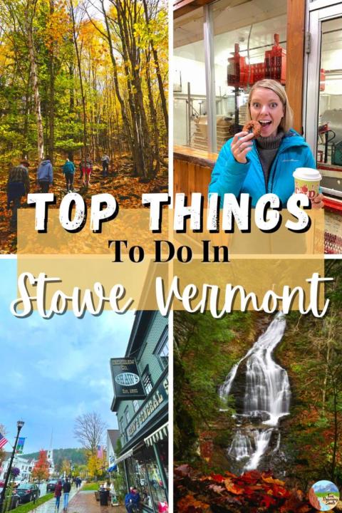
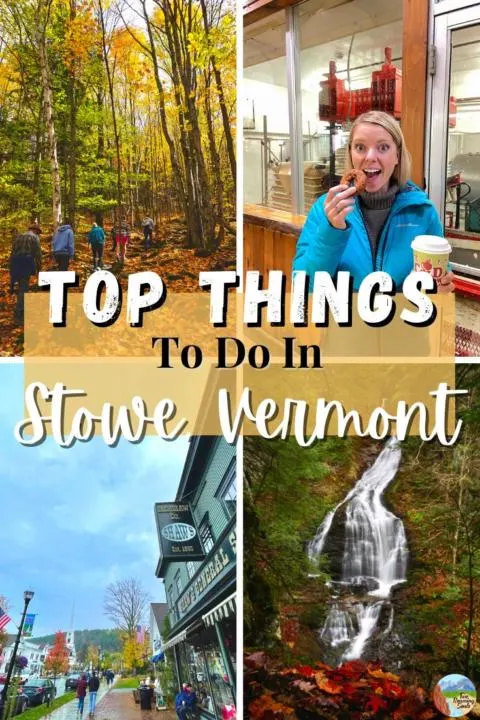
Help Share These ‘Best Hikes In Stowe Vermont’ On Pinterest!